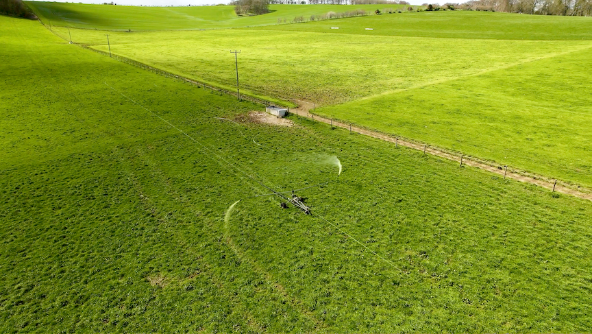
Aspia Space has developed a new tool harnessing AI and satellite data to enable grassland farmers to remotely measure the height of their grass from space. The company announced the new tool, July 18. Aspia Space is partnering with Origin Digital to launch the service with farmers in Ireland this summer.
By accurately measuring the height of grass using Earth observation satellite imaging, it aims to enable the remote measurement of pasture, thus eliminating a labor-intensive and time-consuming process in the grassland farming sector. In combination with Origin Digital’s expertise, this aims to enable fresh insight for increasing productivity and profitability in the grassland farming and land management sectors.
The latest development follows the launch of Aspia Space’s patented ClearSky service, which brings together satellite Earth observation imagery and generative AI to provide clients with cloud-free imagery of the ground. The service was launched to clients in January 2022.
“Earth observation satellites literally provide an eye in the sky that offer the potential to monitor every single field on a regular basis. Aspia Space’s patented ClearSky technology uses a generative AI algorithm to deliver cloud-free imagery of the ground, making satellite data more reliable, especially for agricultural applications. Through our partnership with Origin Digital, we have developed a new AI solution that uses ClearSky imagery to estimate grass height to within an accuracy of just 1.5 cm from a vantage point of nearly 700 km up in space,” Aspia Space co-founder and Director of AI Dr. Mike Smith said in a statement.