
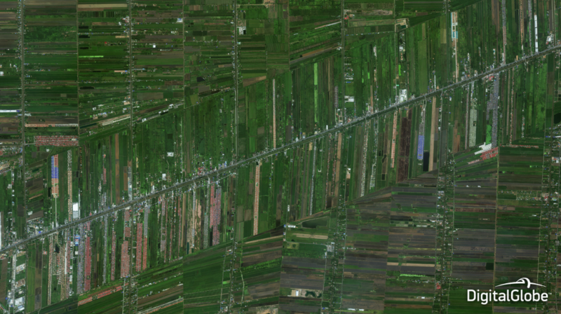
CGIAR (formerly the Consultative Group for International Agricultural Research) will leverage DigitalGlobe’s Geospatial Big Data platform (GBDX) to answer agricultural questions across the globe by using machine learning at scale. CGIAR’s Platform for Big Data in Agriculture democratizes data to digitally transform agriculture and address global challenges such as food security, health, environment, climate and prosperity to improve the lives of people in developing countries.
CGIAR’s geospatial scientists will mine DigitalGlobe’s 100 petabyte imagery library using machine learning and the computational power of GBDX to create more sophisticated baseline datasets in agriculture, plan new projects and monitor crop health, crop yield and the environmental impacts of farming. In addition, GBDX will fuel CGIAR’s research and development efforts to improve agricultural information products and create new ones.
With the support of CGIAR’s Platform for Big Data in Agriculture, the scientists are leveraging GBDX to examine land tenure; crop yield estimation and crop production estimation; water resource conservation and pest and disease monitoring.