California Fires Imaged From ISS and Satellites
By Matthew Cappucci, Jason Samenow | November 1, 2019

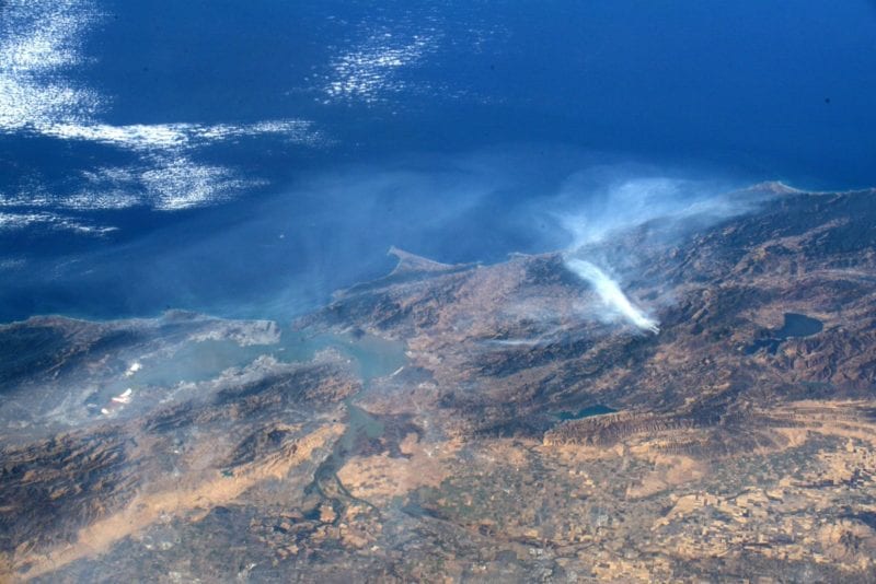
California wildfires as seen from the ISS. Photo: Andrew Morgan
From the ground, the scenes of California’s wildfires are terrifying, but looking down from high above reveals the massive and horrific scale of the blazes. The International Space Station and weather and Earth-observing satellites have detected their massive smoke plumes and, in some cases, their flames.
Most available space-based imagery shows the Kincade Fire, which has been dominating headlines since last Thursday when it broke out in the foothills of Sonoma County, Calif. Fanned by winds gusting over 90 mph at times and humidity plummeting to desert-like dryness, the inferno grew rapidly, now having scorched more than 75,000 acres.