Maxar Logs 5-Year NGA Contract for Foreign Commercial Imagery Worth $192M

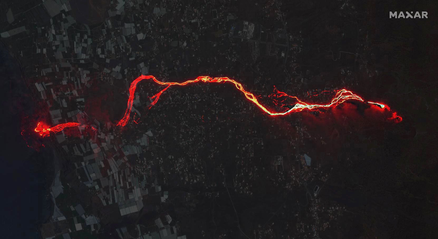
Maxar’s WorldView-3 collected images at night of the Cumbre Vieja volcano in La Palma, Spain in September. This image is a composite image, created by blending a daytime and nighttime image. Photo: Maxar Technologies
The National Geospatial-Intelligence Agency (NGA) awarded Maxar Technologies a five-year Foreign Commercial Imagery Program contract worth up to $192 million.
Under the contract announced Wednesday, Maxar will provide U.S. allies and partners with commercial imagery services including high-resolution electro-optical, synthetic aperture radar (SAR) and 3D data products. This includes SecureWatch imagery and analytics; the Rapid Access Program; Precision3D; and commercial SAR.
“Maxar is proud of our more than two decades’ experience supporting the sharing of critical, actionable geospatial information with U.S. allies and partners,” said Tony Frazier, Maxar’s Executive Vice President and General Manager, Public Sector Earth Intelligence. “Maxar’s high-resolution 2D and 3D imagery and data products are integral for high-confidence mapping, planning and operational support, helping end users make faster, better decisions and saving lives, resources and time.”
Maxar provides imagery to the U.S. government under a number of contracts, including multiple contracts with the NGA. The NGA recently gave Maxar awards worth up to $35.8 million for its Janus Geography program and Foundation program. Last year, the NGA renewed Maxar’s contract for the Global Enhanced GEOINT Delivery (G-EGD) program for one year, valued at $44 million.