Orbital Insight, e-GEOS Offer Flood Relief Services to US Gov

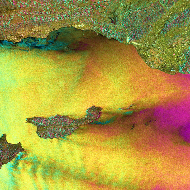
Imagery of an oil spill in Santa Barbara, California captured by Cosmo-SkyMed. Photo Credit: ASI
Geospatial analytics provider Orbital Insight has signed an exclusive agreement to bundle its products with the Emergency Flood Mapping Services of e-Geos for the U.S. government. This partnership provides government customers with a timely understanding of both full flood extent, extracted from Synthetic Aperture Radar (SAR) satellite data, and the magnitude of the impact, based on multiple data inputs including hydraulic modeling, field observations and social media.
E-Geos, a company 80 percent owned by Telespazio and 20 percent owned by the Italian Space Agency ASI, is an international player in the Earth observation and geospatial information business. Orbital Insight sources petabytes of satellite, drone, balloon and other Unmanned Aerial Vehicle (UAV) data and develops geospatial analytics to enable businesses, governments and Non-Government Organizations (NGO) to make better decisions.