The National Oceanic and Atmospheric Administration (NOAA) awarded weather app MyRadar a grant for a satellite mission to improve resilience against wildfires. MyRadar announced the Phase II small business innovation research (SBIR) grant on Tuesady, following an earlier Phase I grant.
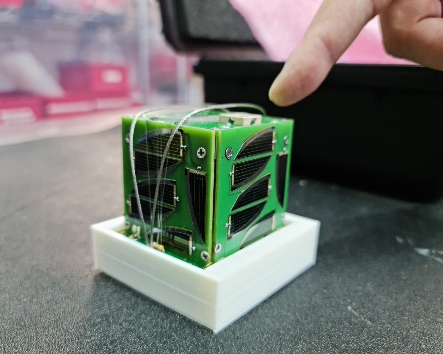
The Phase II mission will be an orbital demonstration of multi-sensor data capture and downlink, AI-assisted alerting, and training dataset generation, and includes building and launching two pathfinder satellites.
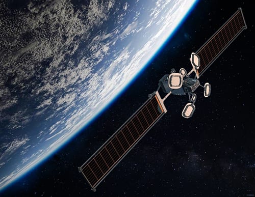
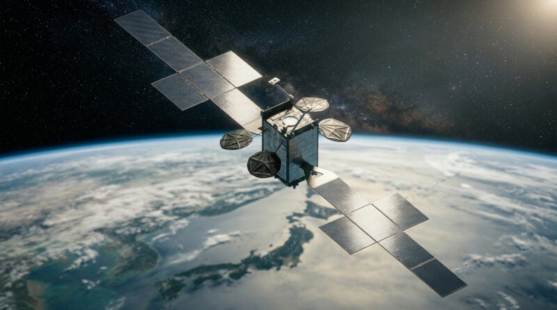
MyRadar and its owner Acme AtronOmatic plan to launch a satellite constellation Hyperspectral Orbital Remote Imaging Spectrometer, or HORIS. Last year, they launched three “PocketQube” satellites with Alba Orbital as a demonstration mission. The full HORIS constellation will consist of 150 satellites to provide low-latency alerts for wildfire mitigation, available from the MyRadar app.
MyRadar is a NOAA “Weather-Ready Nation” ambassador, and works to improve R&D in space-based hardware and software to mitigate the impact of wildfires.
“Phase II builds on the lab, field, and space testing the team has already completed, and the primary science mission will be to collect training data from low Earth orbit (LEO) for the larger constellation’s AI systems,” said MyRadar chief scientist and CTO Dr. Sarvesh Garimella.