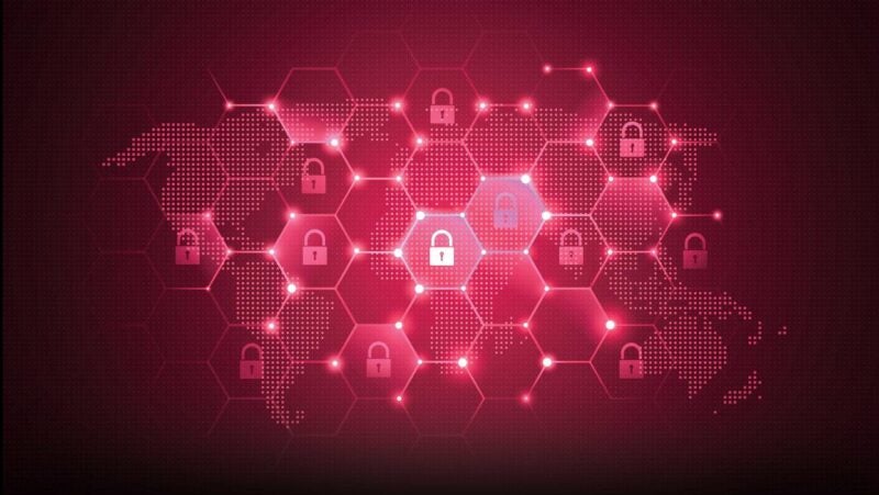
Sixty-five years of space activity have resulted in countless achievements that have greatly enriched life on Earth. On the flip side, this activity has also contributed to the huge amount of debris now in-orbit around the planet, and this is presenting a significant risk to satellites. Debris is not the only danger in terms of potential threats to satellite safety. Over recent years, we’ve seen the space industry grow at an unprecedented rate, and its projected to increase further in the coming decade as new satellite megaconstellations are launched and existing ones greatly expanded. As space becomes increasingly congested with satellites and other space objects, the risk of in-orbit collision increases significantly.
For spaceflight to be safe, operators need systems capable of accurately assessing the risk of a close approach (a conjunction) between either two satellites, or a satellite and a piece of debris. This process of conjunction assessment enables warnings to be generated in time for operators to respond accordingly and take preventative action if required. However, generating accurate collision assessment is currently a challenge, primarily because of the availability and accuracy of observation data.
So where does this leave operators? Without accurate conjunction assessment and timely close approach warnings, at best, operators are likely to undertake costly unnecessary maneuvers. And at worst, an in-orbit collision may happen. As we launch more and more objects into space that stay there for decades and depending on the orbits, potentially even for thousands of years, there has to be a better process for managing all of this traffic.
The mass of debris that poses this potential threat to satellites has been building up since humans first launched satellites into space. Improper deorbiting strategies, in-orbit collisions, and other fragmentation events such as ASAT tests, and explosions from left over fuel and batteries on board spacecraft and rockets have all added to the volume of debris.
You only have to look at European Space Agency’s (ESA) regular updates to see the scale of the problem. Around 32,630 pieces of debris are currently being tracked by Space Surveillance Networks. Yet there are about a million objects of a size (over 1 cm) that could cause severe damage to a satellite in the event of a collision. As most people in the industry would appreciate, even a tiny piece of debris, no bigger than a fleck of paint, can cause significant damage, potentially rendering the satellite inoperable.
Accurate data is crucial in preventing space collisions, and there is currently a huge information gap. There is a gap in terms of object classes and size, and in being able to generate information that is real-time or very close to real-time, to enable space environments to be mapped, to augment space situational awareness. For accurate collision avoidance, you need reliable and near real-time data about the positions, velocities, and trajectories of objects in space. Inaccurate, incomplete and delayed data can lead to incorrect predictions, increasing the risk of collisions and jeopardizing the safety of space operations.
Observation of small objects and availability of real-time observations are not the only challenges. There are also spatial coverage gaps, sometimes unfavorable observation geometries, and systematic errors in the measurements that are hard to calibrate.
Advancements in technology in terms of sensors, data analytics, and AI are enabling enhanced observation of space objects and this is improving conjunction assessment accuracies. Next generation satellite-based sensors will be able to observe objects in space 24/7, which will also make it possible to survey and catalogue new objects that are too small or too faint to be detected currently. Additionally, when observing objects from space, re-observation latency is reduced to just a few tens of minutes, which means that up to date, accurate information about the positions, velocities, and trajectories of space objects, satellites, and debris, will be available in real-time, or very close to real-time.
Of course, it’s not just the ability to carry out more observations in near real-time, that is required. To keep the orbital information of up to 1 million moving objects up to date, a vast amount of images have to be analyzed as soon as they are generated. This is only possible at scale with the use of machine learning and computer vision, alongside employment of classical astrodynamics algorithms.
Alongside having the right technologies and tools to observe space and analyze the data, we also need much more collaborative efforts among space operators, regulatory bodies, and other stakeholders. Collaborative approaches can foster a culture of data sharing, cooperation, and coordination among stakeholders, which are crucial for addressing the challenges of space collision prevention. Sharing data and information related to orbital parameters, mission activities, and planned maneuvers among operators can help enhance the accuracy of predictions and enable more effective collision avoidance measures.
One example of this is the Space Safety Coalition’s recently published updated best practice guide for satellite operators, “Best Practices for the Sustainability of Space Operations.” It is intended to minimize the risks of collision in orbit. As well as covering practices for debris mitigation and disposal for securing space sustainability, the revised framework now also includes guidelines for coordinating maneuvers in orbit. With this inclusion, it brings the commercial perspective to the table, complementing government initiatives for regulating satellite traffic.
At the time of writing, the framework is endorsed by 36 operators, industry organizations, and service providers, and we are pleased to include ourselves in this number. These revised best practices are incredibly positive, and the industry response demonstrates a desire among stakeholders to work collaboratively, to coordinate between maneuverable satellites and to exchange orbit information, for the benefit of all, and to safeguard the future of the space industry.
 Christoph Bamann is the co-founder of Vyoma, which plans to build and operate an innovative, satellite-based observation system for space debris monitoring.