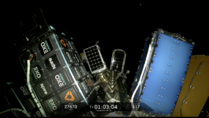
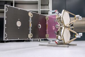
PCI Geomatics received certification for its flagship software to be used with India’s Cartosat-1 satellite, PCI announced June 21. The satellite will use the Geomatica software to process stereo data for large-scale mapping applications and generating digital terrain and digital elevation models. Cartosat-1 launched in May 2005 and uses a pair panchromatic mirrors to collect data.
PCI Geomatics Awarded Certification of Software for CARTSAT-1 Satellite
Trending Now
-
 Government/Military
FCC Continues Deregulation Push with Environmental Regulations and More Spectrum
-
 Imagery and Sensing
BlackSky CEO: Sovereign is the No. 1 Market Opportunity Right Now
-
 Government/Military
NSSLGlobal Acquires MetOcean Telematics