Latest News

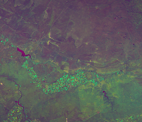
False-color image of multidimensional hyperspectral data. Photo: Satellogic.
Satellogic revealed Friday the public launch of the Global Consortium of Geospatial Imagery. European Space Imaging, a supplier of global imagery in Europe and North Africa, joins as a founding member of the Global Consortium. Other partners include Eartheye from Singapore covering Japan and Asia-Pacific (JAPAC), and 5CI Brazil in Latin America.
Through the Global Consortium, European Space Imaging and fellow affiliates will leverage Satellogic’s Constellation to help provide their customers with high resolution, high frequency, affordable geospatial imagery. Satellogic’s Constellation currently consists of four commercial NewSat spacecraft in Low-Earth Orbit (LEO). In the near-term, a scheduled 2020 dedicated launch will add another 10 spacecraft to Satellogic’s Constellation. Through additional launch agreements, Satellogic expects to have 60 satellites in orbit by 2023.
“Sub-meter resolution with high frequency represents a sweet spot for efficiently monitoring and detecting the kinds of activities that impact and inform economic projections and models in a variety of industries,” said Adrian Zevenbergen, managing director, European Space Imaging. “Access to Satellogic’s high frequency multispectral images will help us to better serve our customers in any number of verticals. We are proud of this new partnership and believe Satellogic’s innovative approach to satellite construction and operation, as well as their impressive capabilities including multiple daily visits, rapid mapping at large scale, and exclusive commercial access to hyperspectral satellite sensors will contribute significantly to space-based ‘Digital Twin of Earth’ initiatives.”
Get the latest Via Satellite news!
Subscribe Now