
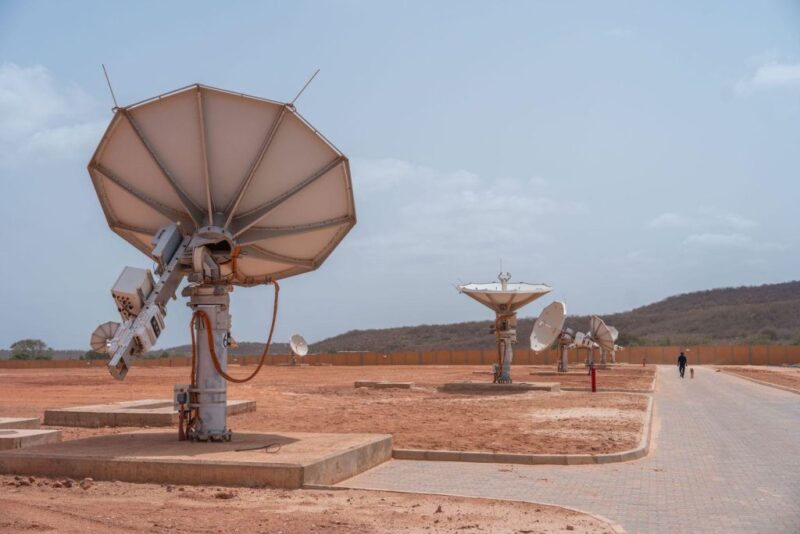
[Satellite News – 4-29-08] The U.S. Geological Survey (USGS) is making all archived Landsat imagery available on the Internet for free, the agency announced April 28.
By February, users will be able to access any Landsat scene held in the USGS-managed national archive of global scenes — the largest archive of civilian land cover on a global basis in the world, Rob Beck, a spokesman for the USGS, said.
In May 2007, the USGS announced that it was making images from Landsat-7 available for free over the Internet as a pilot project for the Landsat Data Continuity Mission, the next generation Landsat spacecraft that is scheduled to be operational in 2011. The project will allow the user community to help refine the distribution system for the new spacecraft. Data from the Landsat satellites has previously been available for sale, with a 115 mile by 115 mile scene costing $400.
“We’ve been making some of the newer Landsat-7 data available as a test case,” Beck said. “The response has been very positive from the user community. Predictably what they said is, ‘Now you’re making Landsat-7 images available, are you going to make it all available on the Internet?’ That made a lot of sense to us. Barbara Ryan [the USGS associate director for geography] has been pushing for this for years. She’s right. Get the data out there in the hands of the users as conveniently and as quickly as possible.”
New data from Landsat-7, which was launched in 1999, already is available online, with the full archive of Landsat-7 becoming available by the end of September. By the end of December, both incoming Landsat-5 thematic mapper data and all Landsat-5 thematic mapper data acquired by the USGS since its launch in 1984 will become available. All Landsat-4 thematic mapper data acquired from 1982 through 1985 and multispectral scanner acquired by earlier Landsat spacecraft dating back to 1972 will become available by the end of January. All Landsat data purchasing options from the USGS will be discontinued by February once the entire Landsat archive can be accessed at no charge.
The data available from the Landsat satellites are “workhorse data sets,” Beck said. The satellite offers moderate resolution imagery, meaning the smallest identifiable features are about 15 meters in size. The imagery is widely used by emergency response teams, who analyze everything from the California wildfires to conditions before, during and after Hurricane Katrina in 2005. The images are also widely used by environmentalists. While the USGS used to give customers two to four options for processing, the Landsat data available on the Internet will only be terrain corrected, which makes variations in landscapes such as mountains more visible.
“What you can see are land features and the land cover of an area below,” Beck said. “The key is not what does it look today but what did it look like last week? What did it look like 25 years ago? You can watch the area in the future and see what changes are taking place. Change detection has really been the payoff for Landsat data.”
Making the images available for free should not have an impact on the value-added resellers who used to retrieve the data and process it for customers, Beck said. “We consulted with the commercial sector and the Landsat user community pretty heavily,” he said. “ A very small minority wanted us to continue doing the processing that we’ve done historically, but with advances in laptops and home processing equipment, increasingly the community can do their own processing if they so desire.”
Tillman Saylor, a spokesman for MDA Federal, a value-added reseller of USGS data, said the move does impact the company but not necessarily negatively.
“From our perspective it’s both good and bad,” Saylor said. “We’re a partner in their push to make Landsat data free. That’s a much bigger thing than some of the other one-off contracts [for other customers using the Landsat data]. In addition, when we do value-added processing with the data it’s usually part of a much larger project. Yes, in the future we may lose a piece of processing that imagery, but we then take that imagery and do additional mapping projects on top of it. As far as I’m concerned, our value-added processing of data was considered a part of a much more complex and detailed project going from images to image processing to data analysis to data extraction and production of a vegetation map or a shoreline vector.”
Mark Brender, a spokesman for GeoEye, said the move might actually help the commercial satellite imagery business in much the same way that Web sites like Google Earth have made the public aware of the images.
“The Landsat data is a great historical archive at a resolution that is very useful to look at land change,” Brender said. “Such access to imagery is good for driving awareness for our entire industry, especially those who will seek to want to see finer detail which only commercial satellite imaging companies can provide.”
In addition to being a treasure trove for everyone from educators to environmental agencies, making the data available on the Web is actually more efficient for the USGS as well. Beck said the USGS receives a “couple million” dollars a year to process the data as well as supplemental income of $2 million to $4 million in scene sales. By putting the data on the Web, Beck said they are going to cut the money for processing and hopefully lose the need for supplemental income as well.
“We’ve looked for ways to make it financially viable to the customer,” Beck said. “We cover the costs of processing and all that. As we gear up for the next generation of Landsat data it has been our intention from the beginning to make it available on the Internet and accessible to anyone who wants it. Under the old system, if you wanted a Landsat scene you’d have to order the computer tape, and we’d have to make a copy and send it to you. That’s costly to do. By putting it on the Internet there’s very little expense involved. By making it free we’ve eliminated our billing and accounting system. By offering only one product, it’s much less complicated for you to get the imagery and you don’t have to go through customer service. All that goes away. It’s a remarkably more efficient system.”
USGS To Make 36 Years Of Landsat Data Available On Web


South Africa’s Top ISP Herotel to Distribute Amazon Leo
South Africa’s top internet service provider Herotel will distribute Amazon Leo satellite connectivity to residential customers under a new deal with Amazon announced Wednesday. Herotel is launching its own satellite […]


Trending Now
-
 Government/Military
Poland Commits Nearly $750M to Europe’s IRIS² Constellation
-
 Government/Military
FCC Approves a New C-Band Auction
-
 Opinion
Space Is Coming for Silicon


