Maxar Extends Data Licensing Contract With Esri

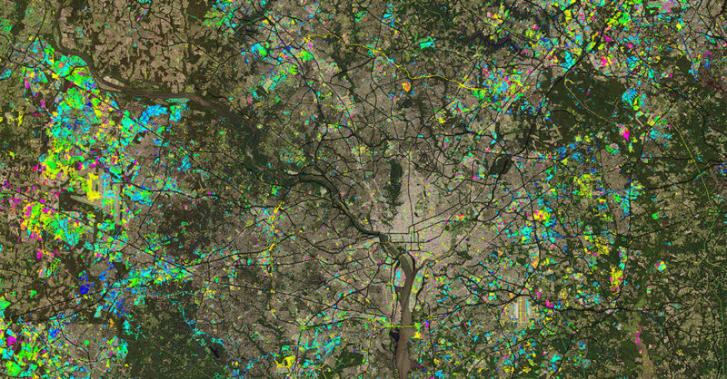
NUCI aims to enable analysts to rapidly identify areas of urban expansion across the landscape of the continental United States. Photo: Maxar (CNW Group/Maxar Technologies Ltd.)
Maxar Technologies revealed Tuesday that Esri signed a multi-million dollar contract extension to continue licensing data for the ArcGIS Living Atlas of the World. The expanded agreement ensures that ArcGIS users will have access to Maxar imagery through 2023. It also provides expanded rights to Esri developers focusing on commercial location-based applications to integrate Maxar imagery products for the first time.
Esri recently named Maxar a 2020 Cornerstone Partner, marking its 20-year partnership. Maxar continues to be Esri’s foundation imagery provider, supplying high-resolution satellite imagery for the Living Atlas of the World, a collection of geographic information layers and data sets for the world, including maps, apps and data layers and population statistics. Last year, Maxar signed a three-year contract to continue providing its Vivid and Metro satellite imagery mosaics to Esri’s ArcGIS Living Atlas of the World. Maxar products available in the living Atlas include: Vivid, Metro, NaturalVue 2.0, and National Urban Change Indicator (NUCI).
“Maxar is exceptionally proud to continue its longstanding partnership with Esri, one of many organizations whose users demand the unrivaled quality of our imagery products,” said Dan Jablonsky, Maxar CEO. “The investments we’re making in our next-generation WorldView Legion satellites ensure that we will be able to continue delivering these imagery products to our customers for many years to come.”