Maxar Technologies signed a three-year contract to continue providing its Vivid and Metro satellite imagery mosaics to Esri’s ArcGIS Living Atlas of the World. This new contract builds upon Esri and Maxar’s long-term partnership.
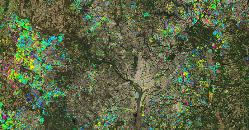
Esri’s ArcGIS Living Atlas of the World is a collection of geographic information from around the world, including maps, apps and data layers. The World Imagery map of Living Atlas uses Maxar’s Vivid and Metro imagery mosaic products. Additionally, Esri will receive a new version of Vivid that more than doubles the horizontal accuracy of imagery pixels, which aims to make the vector features extracted by ArcGIS creators even more precise. Esri’s contract includes up to 1,000 of Maxar’s 6,000 Metro imagery mosaics, which provides global, off-the-shelf access to recent imagery of specific cities. ArcGIS end users will also have access to Maxar’s NaturalVue 2.0 image mosaic and National Urban Change Indicator (NUCI) through the Living Atlas Catalog, which was announced earlier this year.
“Over the last decade, Maxar and Esri have partnered to combine the best commercial satellite imagery with the most advanced geospatial tools on the market within a unified experience,” said Tony Frazier, Maxar’s Executive Vice President of Global Field Operations. “This latest contract demonstrates both companies’ enduring commitment to innovation for Esri end users and the global GIS community.”