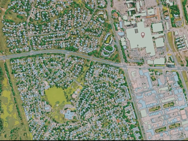
DigitalGlobe, a Maxar Technologies company, completed mapping the Australian continent in high detail using Artificial Intelligence (AI) and Machine Learning (ML) technology. DigitalGlobe produced data layers for PSMA Australia to create Geoscape, a commercial location intelligence dataset about the Australian built environment to help end users make business decisions. PSMA Australia is an organization that offers geospatial data sources to public and private institutions across Australia.
Geoscape aims to accurately describe the physical attributes of every building across all 7.6 million square kilometers of Australia. Customers now have access to this geospatial dataset without the need to hire Geographic Information Systems (GIS) experts or perform site visits. These datasets can help end users in activities such as infrastructure planning for 5G networks, insurance risk modeling, and improved urban planning and taxation activities.
DigitalGlobe supplied the satellite imagery, analytics, and content ecosystem partners to help PSMA Australia produce the dataset. DigitalGlobe tasked its WorldView-3 satellite to collect new imagery of the entire continent with its Shortwave Infrared (SWIR) sensor, allowing DigitalGlobe to identify materials on each property. PSMA will continue to update Geoscape over the next two years with fresh data layers from DigitalGlobe.