

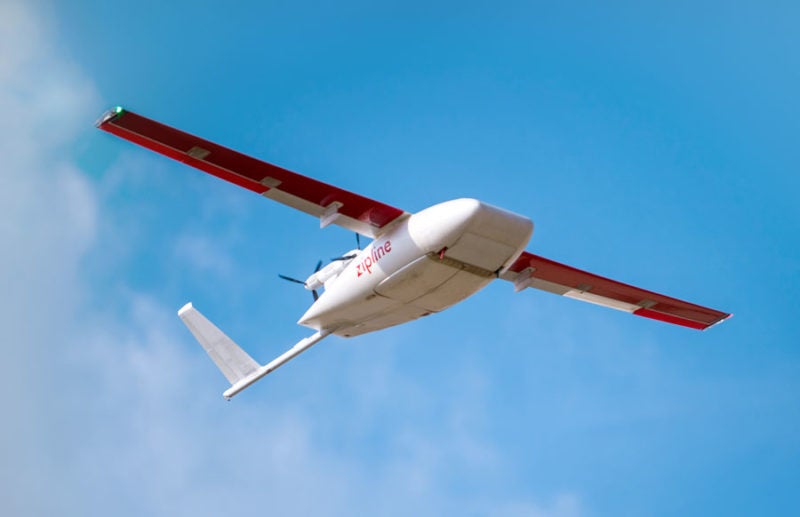
Intermap Technologies revealed a new contract with Zipline to deliver geospatial Elevation-as-a-Service to support their expanding medical operations in Africa, including on-demand emergency response to COVID-19 outbreaks. The subscription contract has been urgently upsized following its successful proof of concept. This deal marks Intermap’s return to the African market, and its expansion in the global unmanned aviation (UAV/Drone) sector.
“Intermap is an established world leader in all-source elevation data and analytics, including its collection, processing, exploitation, and delivery,” commented Patrick A. Blott, Intermap’s chairman and CEO. “Our relationship with Zipline provides an excellent example of how Intermap’s patented, on-demand, and near real-time processing, when combined with our cloud-based provisioning and customizable analytics, Elevation-as-a-Service, can support rapid operational expansion (strategic and tactical) for growing UAV companies – and it’s all immediately available on a global scale.”
Additionally, Intermap revealed a strategic partnership with Latin America. The company also hired Carolyn Johnston, Ph.D., a statistician and mathematician specializing in geospatial technologies and remote sensing, as its Chief Scientist.


