

GHGSat is supplying Bloomberg its methane emissions risk predictions data for the Permian Basin in the southwestern United States, the company announced Wednesday.
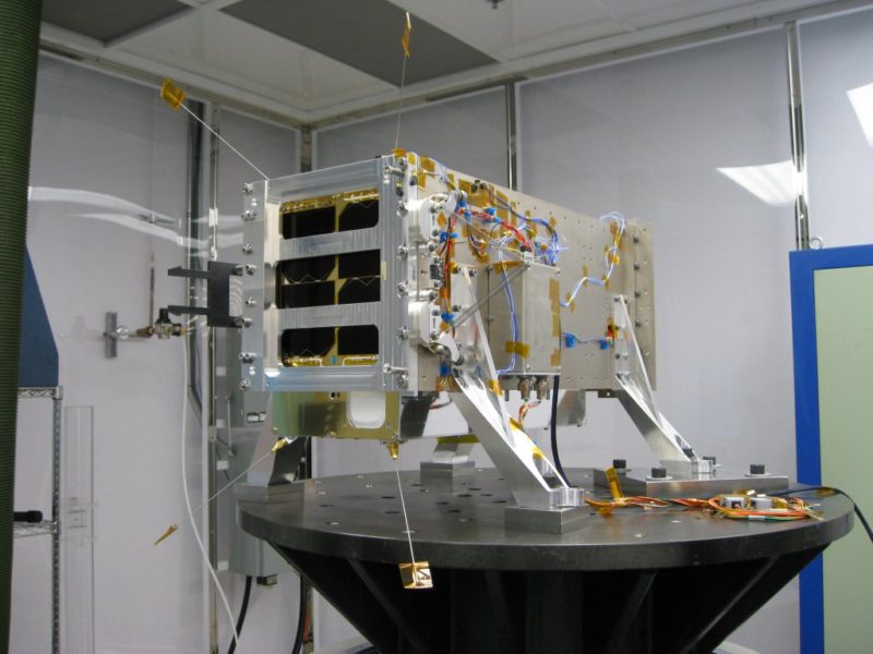
The risk index is calculated using GHGSat’s satellite measurements of methane emissions and other sources of data that are processed with proprietary algorithms. Montreal-based GHGSat said that it is supplying the data for the Bloomberg Enterprise Access Point platform on a weekly basis. GHGSat’s first satellite, Claire, which was launched in 2016, was designed to measure greenhouse gas emissions from industrial facilities.
“Partnering with Bloomberg provides world-class distribution for our unique analytics products,” GHGSat CEO Stephane Germain said. “It also provides GHGSat the opportunity to showcase satellite monitoring of greenhouse gas emissions to a much wider audience than our typical industrial and government customers.”


