Airbus Aerial, DroneBase to Provide Data Services

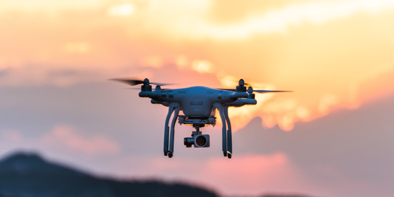
A drone by DroneBase. Photo Credit: DroneBase
Airbus Aerial and DroneBase, a global drone operations company, have announced a partnership to deliver a multi-source data service solution for aerial imagery and data from a single provider. This effort enables companies that have previously used a variety of separate sources for their data and imagery insights to now use a single, global service provider.
Airbus Aerial is an aerial services business launched by Airbus, with bases in the United States, Europe and Asia Pacific. Airbus Aerial’s services leverage software and aerospace technology from across the globe to offer actionable data and analysis of information provided by drones, satellites, high altitude aircraft and other sources.
DroneBase, with a network of tens of thousands of pilots, can provide aerial imagery and data of any U.S. address within 48-72 hours, depending on airspace.
This new partnership will allow companies in various markets to work with one global source to provide data from drones, manned aircraft, or satellites. For example, insurers looking to quickly respond to natural disasters can now leverage satellites to view entire cities at high resolution and analyze the damage levels within 12-24 hours, while drones also view specific areas where more attention is needed.
Additionally, major utilities, rail and energy companies overseeing vast networks of infrastructure can capitalize on routine monitoring from satellites to track vegetation encroachment or easement violations. When issues are detected, drones can better classify the issues and determine the most accurate solution.