
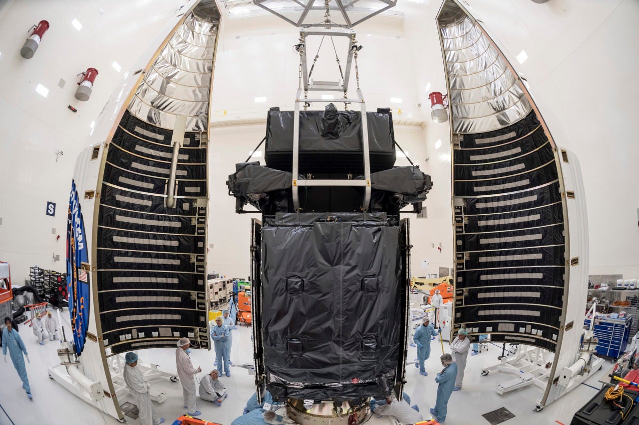
The U.S. Air Force’s fourth Space Based Infrared System (SBIRS) satellite transmitted its first images back to Earth. The milestone, known as “first light,” occurred in February when the SBIRS GEO Flight-4 satellite, built by Lockheed Martin, turned on its sensors for the first time during space vehicle checkout.
SBIRS GEO Flight-4 is the latest satellite to join the Air Force’s orbiting missile warning constellation. Equipped with scanning and staring infrared surveillance sensors, the satellite collects data for use by the U.S. military to detect missile launches, support ballistic missile defense, expand technical intelligence gathering and bolster situational awareness on the battlefield.
Launched on Jan. 19, SBIRS GEO Flight-4 began responding to the Air Force’s 460th Space Wing’s commands 37 minutes after lift-off. Using its liquid apogee engine, the satellite successfully propelled itself to a Geosynchronous Earth Orbit (GEO) altitude of about 22,000 miles. There, it deployed its solar arrays and antennas, and began initial check out.
SBIRS GEO Flight-4 completes the baseline SBIRS constellation. It joins SBIRS GEO Flights-1, 2 and 3, which were launched in 2011, 2013 and 2017, respectively.