

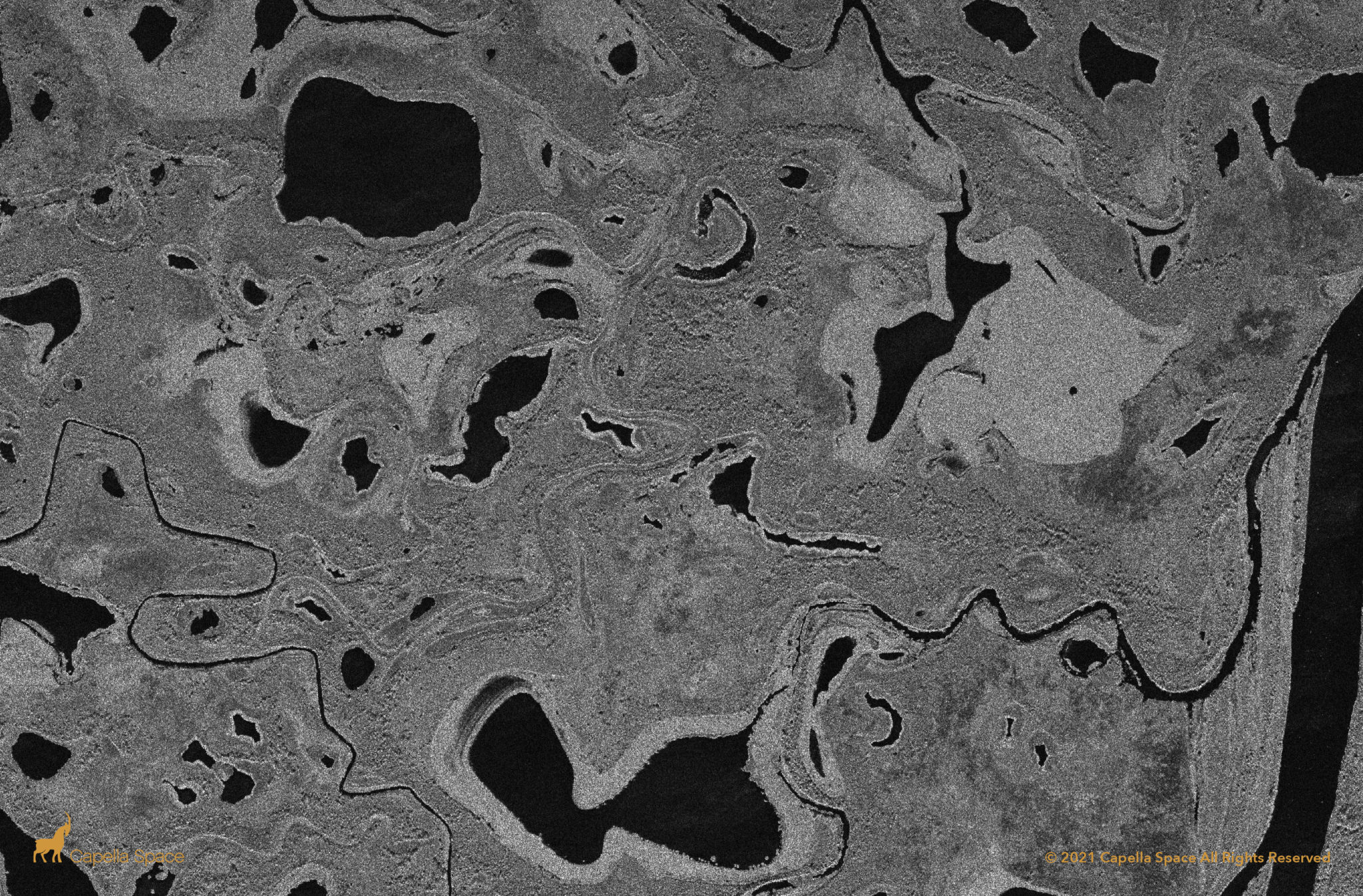
Capella Space is adding a selection of its synthetic aperture radar (SAR) imagery to the Amazon Web Services (AWS) Open Data Sponsorship Program to make it openly accessible. The company said in a Thursday announcement it hopes this access will “encourage innovation and discovery of the next game-changing applications of SAR.”
This gives any individual free access to a selection of open data imagery from Capella, with imagery from every continent, with examples from agriculture and aquaculture, energy and natural resources, infrastructure, maritime, environmental, and humanitarian and natural disaster use cases. AWS covers the costs of the storage and transfer of the data, so people can access this data without needing to pay to store their own copies of the dataset.
The AWS Open Data registry includes datasets from Sentinel-2, Landsat, and GOES satellites, in addition to many non-space datasets like the Genome Aggregation Database.
“Our mission to democratize access to timely, high-quality SAR data is accelerated through this work with Amazon, and I couldn’t be more excited,” said Payam Banazadeh, CEO and founder of Capella Space. “By making our data available on AWS, it encourages more people around the world to get acquainted with SAR data and create applications that can improve the world around us.”
Capella Space previously launched its own open data program for researchers, nonprofits, developers, and disaster response organizations in September 2021, and is now expanding that by participating in the AWS Open Data Program.


