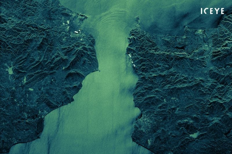
Finnish imagery provider Iceye rolled out new wide-area “Scan” mode imaging capabilities on its Synthetic-Aperture Radar (SAR) satellite constellation Monday. The company is now able to capture 10,000 km² SAR land and sea data acquisitions — a significant leap in size from existing capabilities.
SAR satellite imaging is unique in that it’s able to capture data during the day and night, and through cloud cover. Iceye said that the its new Scan SAR imaging is particularly effective for acquiring wide coverage imagery for maritime use cases, which would be targeted to national security authorities and maritime safety officials that require persistent visibility into large sea areas.
“The alternative methods of monitoring these areas, such as airplanes and sending out patrol vessels to sea, are costly and not always feasible due to inclement weather or night time,” said Pekka Laurila, CSO and co-founder of Iceye. “We’ve done trials to Scan image areas as large as 100 km x 400 km (60 x 250 miles) with a single acquisition, covering areas at once that would take more than 1500 Spot images as a comparison,”
Iceye first demonstrated interferometric capabilities in 2020. In March, the imagery provider entered into a partnership for a joint offering with insurance company Swiss Re to provide flood monitoring data.
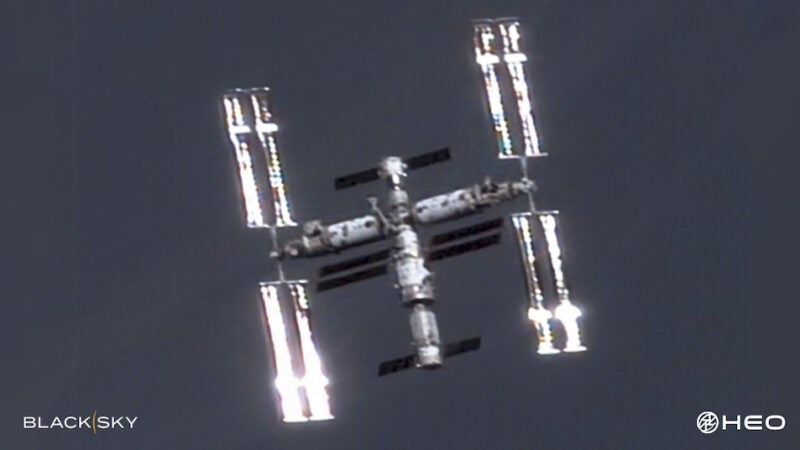
In total, Iceye has launched a total of 10 SAR missions, and has plans to launch up to 10 more spacecraft still in 2021.