

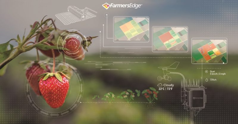
Farmers Edge is now offering satellite imagery and mapping technology for specialty crops. Growers gain access to FarmCommand, an integrated farm data management platform that includes a set of imagery-derived map layers, automatic crop health change detection, field-centric weather conditions, and digital scouting tools.
The company said that with rapid data processing, high-resolution imagery is transformed within 48 hours, with enough clarity to zero in on individual trees, or specific areas of a field so corrective action can be taken early. This solution for specialty crops is available now.
“We’re seeing an increase in specialty crop production from growers across North America to drive new revenue streams and diversify their crop portfolios,” said Wade Barnes, Farmers Edge CEO and co-founder. “We’re excited to extend this powerful technology to more growers to help them maximize yield and profits.”


