Raytheon will Build NASA’s First GEO Hyperspectral Imager
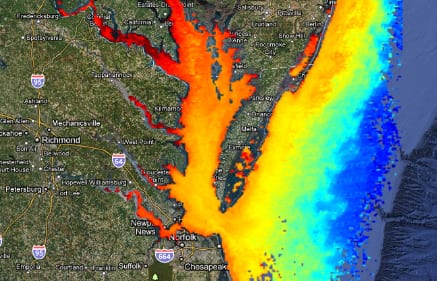
Hyperspectral Imagery of U.S. East Coast (by NOAA)
Raytheon has been contracted by The University of New Hampshire to build the Geostationary Littoral Imaging and Monitoring Radiometer (GLIMR) sensor that will serve as NASA’s first hyperspectral imager in geostationary orbit, the company announced August 26. NASA and the University of New Hampshire will use the hyperspectral imagery to obtain a highly detailed view of physical and biological conditions in coastal waters, which will be made available to scientists, researchers and educators around the world.
The University of New Hampshire is serving as NASA’s prime for the contract. GLIMR will launch aboard its host spacecraft (tbd) in either 2026 or 2027 .
“The instrument will provide high-sensitivity, high-spatial and high-temporal resolution measurements of coastal and ocean ecosystems in the Gulf of Mexico, parts of the southeastern U.S. coastline and the Amazon River plume,” Jeff Puschell, GLIMR instrument scientist and principal engineering fellow at Raytheon Space Systems, said in a statement. “Decision-makers will use the GLIMR data to respond rapidly to natural and manmade coastal water disasters, such as harmful algae blooms and oil spills. It will also help improve the coastal ecosystem’s sustainability and resource management.”