NOAA’s GOES-17 Satellite is Now Operational

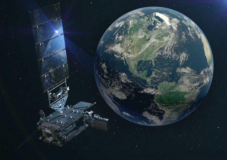
Artist’s rendering of a GOES-17 satellite in space. Photo: Lockheed Martin
GOES-17, the second of the National Oceanic and Atmospheric Administration’s (NOAA) next-generation Geostationary Orbit (GEO) weather satellites, has completed its checkout phase and is now operating in the GOES West position. The satellite aims to provide faster, more accurate, and more detailed observations used by NOAA forecasters to predict Pacific storm systems, severe storms, fog, wildfires, and other environmental dangers.
“GOES-17 is the latest in a series of the most advanced weather satellites which have ever been launched into orbit,” said U.S. Secretary of Commerce Wilbur Ross. “The latest GOES series of satellites play a critical role protecting the public each day, ensuring better data reaches the forecasters who safeguard countless American lives from weather-related disaster.”
Launched on March 1, 2018, GOES-17 joins GOES-16, also known as GOES East, the first of NOAA’s new fleet of advanced weather satellites, to deliver high-resolution visible and infrared imagery and lightning observations of more than half the globe — from the west coast of Africa to New Zealand, and from near the Arctic Circle to the Antarctic Circle.