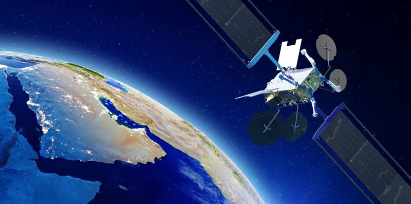
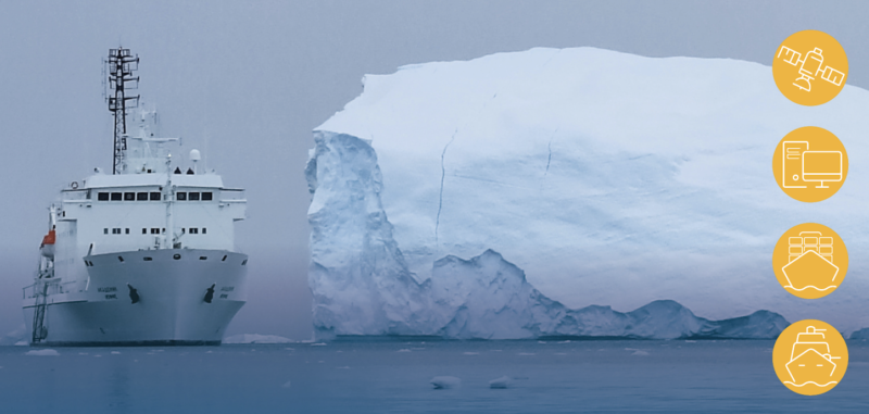
Danish satellite operator Sternula is leading a consortium that plans to develop a network for Low-Earth Orbit (LEO) satellites delivering ice chart data to ships at sea. According to a Thursday news release, this project aims to improve navigation for ships in rough seas and the security of crews onboard. Sternula plans to launch its first small satellite out of a total of 50 as part of the project. The consortium plans to launch the network in 2022.
The research project, called MARIOT (Maritime IoT), plans to develop the LEO network based on VHF Data Exchange System (VDES) technology, which is the second generation of the Automatic Identification System (AIS), a widely used standard used to monitor marine traffic. The consortium said that VDES will enable global connectivity through satellite networks as well as efficient transfer of more data types.
Satcom developers GateHouse, Space Inventor, and Satlab, as well as Aalborg University, and the Danish Meteorological Institute are participating in the project as well. GateHouse, Space Inventor, and Satlab plan to develop the hardware and software components for the project while Aalborg University plans to contribute with technology. The Danish Meteorological Institute plans to offer its ice chart service, which is in development and will be tailored to the VDES network. The MARIOT project will be managed by Sternula and is sponsored by the Danish Innovation Fund.