ST. LOUIS — Earth observation data would be useful to the Border Patrol and its agents in the field to improve situational awareness around things like washed out trails and changing tactics used by illicit actors near the border, an agency official said on Tuesday.
Agents want imagery immediately to know if a “street that wasn’t washed out a week ago is now open and available to us to use or has been since washed out,” Dan Steadman, assistant chief of the Border Patrol’s Team Awareness Kit (TAK) program, said during a GEOINT 2023 panel on homeland security here.
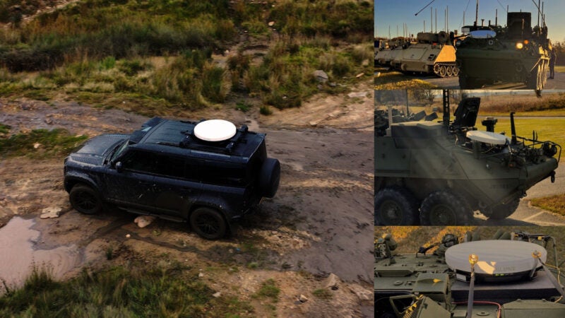
Currently, about 16,000 Border Patrol agents are equipped with TAK on their cell phones or other mobile electronic devices, giving them greater situational awareness from various surveillance sensors and location data of fellow agents.
Given poor communications in many areas of the southwest border and need for mesh networks, Steadman said the Border Patrol wants “that data ingestion for offline mapping — satellite imagery to give agents on the ground as they’re responding to officer safety type situations, to have the most up to date information and how to better respond,” he said.
The Department of Homeland Security’s largest use of geospatial-intelligence (GEOINT) data is for disaster response.
Last September, when Hurricane Ian clobbered Florida’s west coast, the National Geospatial-Intelligence Agency (NGA) “processed more than 100 square miles of commercial imagery there, and 800 gigabytes of small unmanned aircraft systems data comprising nearly 80,000 images” in support of the Federal Emergency Management Agency (FEMA), Vice Adm. Frank Whitworth, NGA’s director, told attendees here on Monday. NGA analysts also “printed more than a thousand maps and developed route analysis,” he said.
NGA also helped FEMA with getting resources to where they were needed by showing gaps in searches, Whitworth said.
DHS is challenged at times with satellite imagery in support of disaster response depending on environmental conditions, Tom Madigan, the department’s senior requirements officer, said. Madigan supports the DHS enterprise, which includes the department’s components and state and local partners.
Madigan, who also manages satellite imagery collection for all of DHS, said the department is best equipped to use the imagery during daylight and cloud-free times. That’s when electro-optical imagery, which essentially produces camera-like photos, works well.
DHS will use satellite-based synthetic aperture radar imagery, which works day and night in all weather, but “requires a lot of expertise and exploiting, so that that can be a very difficult challenge across the enterprise,” he said. “So that’s where things like change detection analytics and value-added type production really comes in handy to inform state and local personnel, especially in search and rescue type response operations.”
Next to disaster response, the second largest use of GEOINT data is in support of state and local partners around special security events, Madigan said. The satellite imagery provides “periodic refresh” of these locations.
The department’s Geospatial Management Office also provide more than 400 critical infrastructure data sets to the states and locals, he said.
“That combination of satellite imagery with GIS (geographic information system) critical extra data sets really is a powerful tool for planning,” he said. “Everything from canine teams and explosive detection teams, venue security and screening, and all sorts of stuff that are behind the scenes for events such as these occurring today.”
This article was first published by Via Satellite sister publication Defense Daily.