
The National Oceanic and Atmospheric Administration (NOAA) has selected Harris Corporation to design a system to monitor cellular signals interfering with critical weather satellite data.
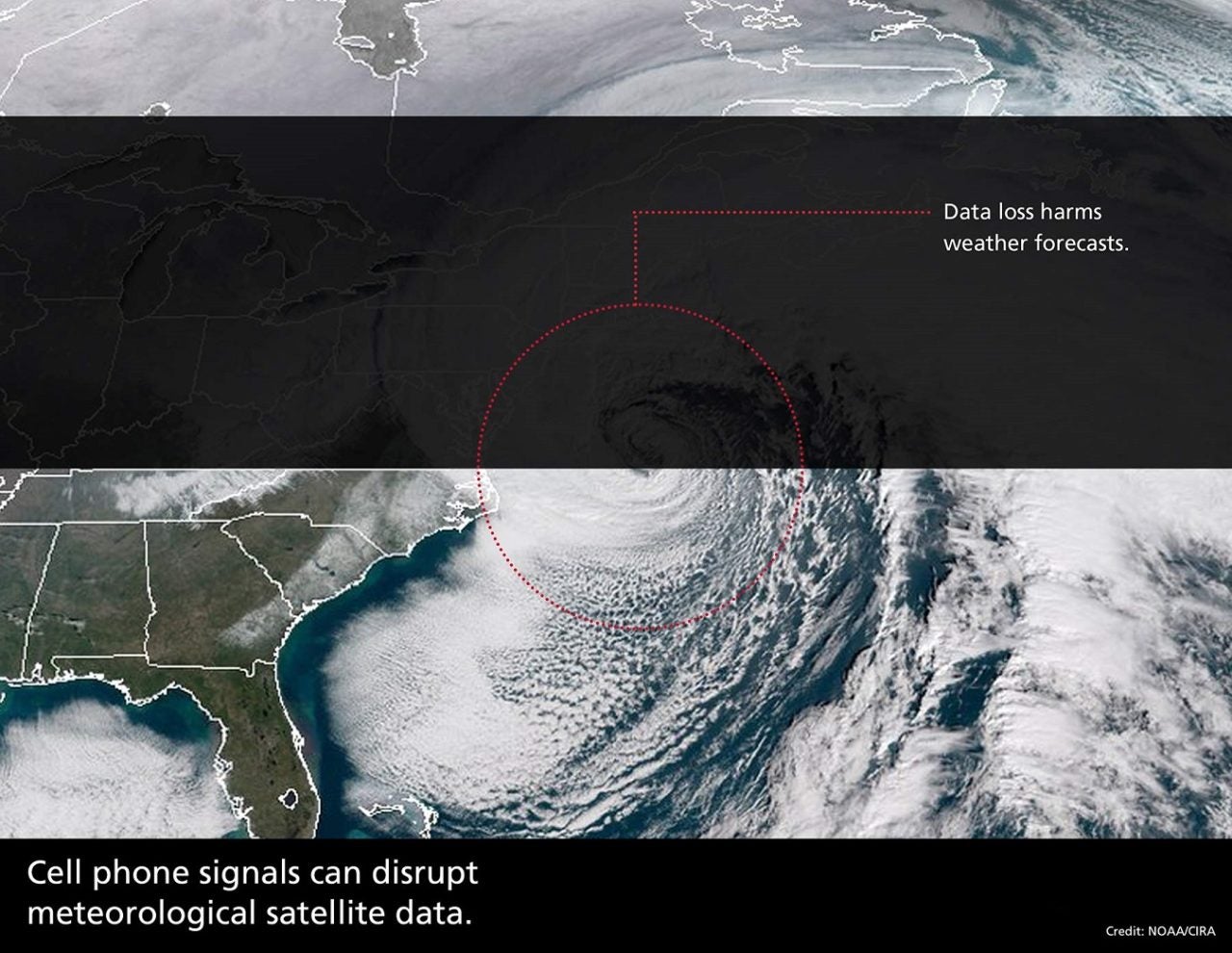
Several weather satellites soon will begin sharing frequency bands with wireless communication companies across the United States. The sale of spectrum by the government, combined with the launch of more complex weather satellites, increases the potential for signal overlap and interference. This could cause problems for NOAA and other federal agencies relying on the quality of satellite weather data.
Harris is developing a radio frequency interference monitoring system to track, aggregate, and notify NOAA and wireless carriers of interference incidents.
Harris built the satellite ground system which flies NOAA’s Geostationary Operational Environmental Satellite-R (GOES) weather satellite series, operates the instruments and processes the weather satellite data. In addition, Harris built the main weather satellite instrument for the GOES-R program, which provides the imagery and information used by the forecasters for severe weather.