Latest News

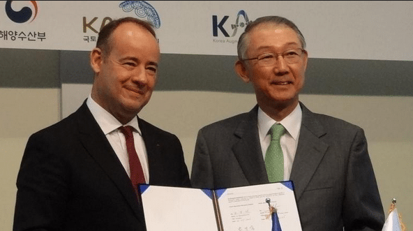
Jean Loïc Galle, president and CEO of Thales Alenia Space, and Gi Wook Nam, director of KASS Programme Office, sign an agreement for KARI’s KASS. Photo: Thales Alenia Space
[Via Satellite 10-27-2016] Thales Alenia Space has signed a contract with the South Korean space agency, Korea Aerospace Research Institute (KARI), to supply the ground infrastructure for the agency’s satellite navigation system, the Korea Augmentation Satellite System (KASS). KARI, on behalf of the South Korean Ministry of Land, Infrastructure and Transport (MOLIT), will receive the KASS system, which relies on European Geostationary Navigation Overlay System (EGNOS) developed by Thales Alenia Space as prime contractor for the European Commission.
The EGNOS system has been operating in Europe since 2009 for Safety of Life (SOL) services, but KASS will enhance the positioning performance provided by the current satellite navigation system GPS and with evolution for the future satellites, Glonass and Galileo. According to KARI, it will ensure integrity and availability of services as well as improve positioning accuracy to within one meter.
The ground infrastructure will initially operate via a relay provided by an existing geostationary satellite, and it will be interoperable with other Satellite Based Augmentation Systems (SBAS) worldwide, which guarantee air traffic safety of planes move between zones. KARI and Thales Alenia Space will be applying an approach based on partnership, which means that an integrated French-Korean team will be in charge of the project under Thales Alenia Space’s responsibility.
South Korea will initially be using KASS to provide aeronautical applications, including SOL services so that it can be used during different flight phases, especially landings. It will eventually extend these services to other applications, including maritime, road and rail.
Get the latest Via Satellite news!
Subscribe Now