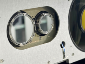
[Satellite Today 07-10-08] GeoEye Inc.’s GeoEye-1 satellite arrived at Vandenberg Air Force Base, Calif., in advanced of its scheduled Aug. 22 launch, GeoEye announced.
GeoEye-1 will provide black-and-white imagery with a ground resolution of 0.41 meters and multi-spectral imagery at 1.65-meter resolution. GeoEye-1 was financed in part by the U.S. National Geospatial-Intelligence Agency.
Once operational, GeoEye-1 and the Ikonos satellite, which has been in orbit since 1999, will collect nearly 1 million square kilometres of imagery per day, GeoEye said.
GeoEye-1 Delivered To Launch Site


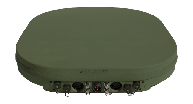

Northrop Grumman Selects ThinKom Antenna for US Navy TACAMO Aircraft
Northrop Grumman has selected a ThinKom antenna to provide satcom for the U.S. Navy’s E-130J Phoenix II aircraft, which will assume the Navy’s TACAMO mission. Northrop Grumman is developing the […]



Trending Now
-
 Government/Military
Russia’s LEO Advances Put New Pressure on Europe to Bolster its Space Security
-
 Government/Military
Northrop Grumman Selects ThinKom Antenna for US Navy TACAMO Aircraft