Orbital Micro Systems Opens the International Center for Earth Data
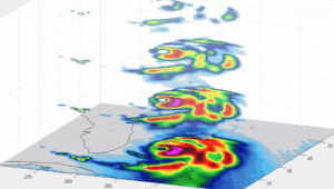
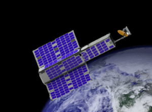
Orbital Micro Systems (OMS) opened the International Center for Earth Data (ICED) at the University of Edinburgh in Scotland. A collaborative project between OMS, the University of Edinburgh, and the...