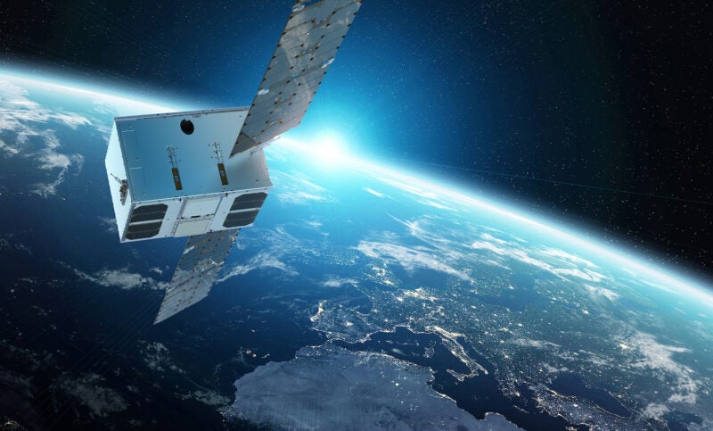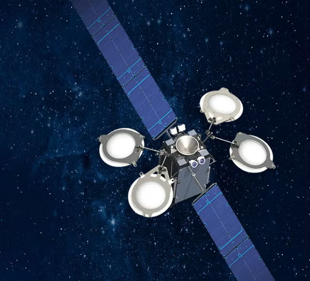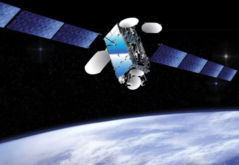
The agriculture industry is accustomed to using satellite technology for GPS purposes, and now pushing deeper into satellite technology and using or exploring the use of imagery and sensing, and telecom capabilities.
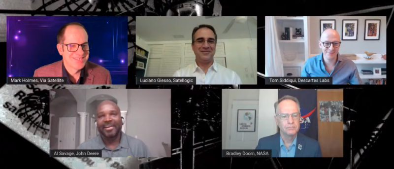
Al Savage, manager of the Starfire Network for John Deere spoke virtually on Wednesday as part of the SATELLITE 2021 Digital Encore, about how John Deere uses satellite technology and could do more in the future. GPS technology has impacted how farmers work, to help them work “smarter, not harder,” he said. Satellite GPS is the base of other technology that John Deere offers like Artificial Intelligence (AI) and Internet of Things (IoT).
“As we go further, I can see us diving into some of the other aspects of what satellite technology can offer. Big data, telcom, mass data storage, and real-time accuracy, those sorts of things would come into play for us as well,” Savage said.
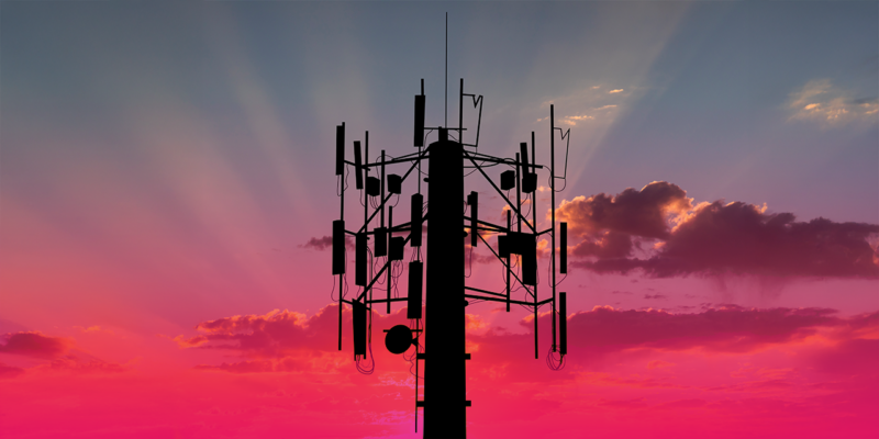
John Deere and others in the agriculture space are looking at Low-Earth Orbit (LEO) communications seriously, because many farms are in rural areas that lack high speed broadband connectivity. LEO connectivity could help with moving large data and help farmers track data and share data among themselves, Savage said.
Geospatial data company Descartes Labs is seeing increased adoption of satellite analytics along all aspects of the agriculture value chain — from the farm level, to midstream processors and traders, to consumer packaged goods companies that distribute to consumers, said Tom Siddiqui, head of Agriculture and Financial Services.
Farming has gotten the most attention over the past few years through precision agriculture, which has found ways to increase the amount of data given to farmers in order to increase yields and decrease costs, Siddiqui said.
But to speed up the adoption of new technologies, satellite technology advocates need to stop pitching how the technology works, and talk about how it benefits the end users, he said.
“It’s not so much about you know electro optical [versus] hyperspectral, but rather to speak purely in terms of how we are going to estimate soil organic carbon at scale, and monitor the impact of adverse weather events in real time?” Siddiqui said. “That’s the level that we all need to start speaking at. That is the main area in which we can improve that as an industry.”
Brad Doorn, NASA program manager for agriculture and water resources, talked about the challenges NASA faces to serve the agriculture industry better with its satellite data, especially in the area of climate change. He sees a major challenge of developing the ability to serve the end user, and collaborating with companies like John Deere.
“There is rightfully pressure on NASA to respond to the current crises,” Doorn said. “We have a huge drought in the western United States and [it is] spreading. Are we providing solutions? The satellites have a great understanding of change over time, and hopefully of what’s happening in the future. We have to be able to provide that information in a way that the agricultural industry can make better decisions now — not 20 years from now.”
Doorn appeared on the panel just after the successful Landsat satellite launch, a NASA satellite that collects data on the Earth. Doorn said the entrance of commercial players like John Deere, Satellogic, and Descartes Labs makes the area that NASA has been working in for decades much more dynamic.
“We’ve been providing information to USDA for decades, but that has been somewhat limited. For a number of years it was Landsat and NASA alone,” he said. “[Commercial providers] eventually developing these technologies is what was missing. Now we have all these capabilities commercially, and the computing capacity. This is a large part of the reason for the revolution now to push information to decision-makers, to the farmer level.”