EIAST Releases First Images from DubaiSat 2 Earth Observation Satellite
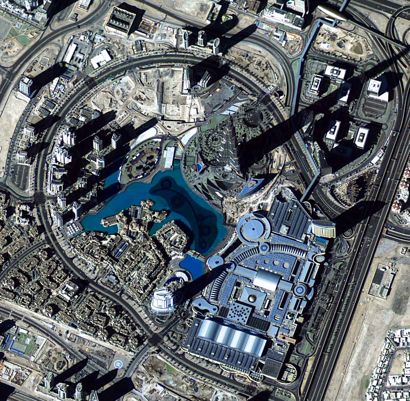
Burj Khalifa as seen by DubaiSat 2. Photo: EIAST
[Via Satellite 12-09-13] The Emirates Institution for Advanced Science and Technology’s (EIAST) DubaiSat 2 Earth observation satellite, launched on Nov. 21 2013, has successfully been deployed in orbit and all systems have been tested and verified. The satellite’s first image, taken of Seer Bani Yas Island in Abu Dhabi, was captured 24 hours after launch.
EIAST released images from DubaiSat 2 taken from all over the world in 1-meter resolution. The areas imaged include the Golden Gate Bridge in San Francisco, Tokyo Bay, The Coliseum in Rome and an image of Burj Khalifa taken just before the UAE’s National Day on Dec. 1st.
DubaiSat 2 provides 1-meter resolution in the panchromatic band and 4m multispectral as well as a color 1m product. The imaging swath is 12 km and DubaiSat 2 has the ability to image and download more than 18,000 square kilometers a day from its Dubai Ground station based in Al Khawaneej.