
A recent report in Seismological Research Letters suggests that researchers can use satellites to provide early warnings of earthquakes and tsunamis for Chile’s coastal communities. The module leverages ground motion data measured by Global Navigation Satellite Systems (GNSS) and could help determine the magnitude and epicenter of large earthquakes.
Researchers Validate Satellite-Based Earthquake Early Warning System




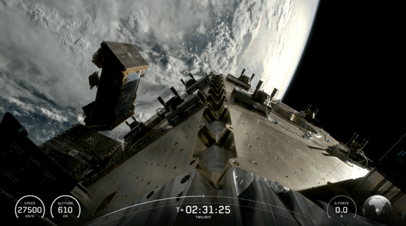
Kepler Launches Service on its New Optical Data Relay Constellation
Kepler Communications is now offering service from the next-generation optical data relay network constellation to global commercial and government customers, the operator announced Monday. With service now active following SpaceX’s […]




Trending Now
-
 10 Hottest
10 Smallsat Startups to Watch in 2026
-
 Government/Military
White House Targets Support for 1,000 Launches Per Year by 2030
-
 Government/Military
NASA’s Nancy Grace Roman Telescope Set for Falcon Heavy Launch on Sunday
-
 Government/Military
NOAA Contracts Muon Space, Weather Stream, and Spire for TMATE Project