IHS Markit and exactEarth have entered into an alliance agreement that will provide a new combined tracking service, AIS Platinum, offering frequency and coverage of vessel movements worldwide. Clients will be able to access to a high detection rate of vessels in high density locations such as South China Sea and Gulf of Mexico.
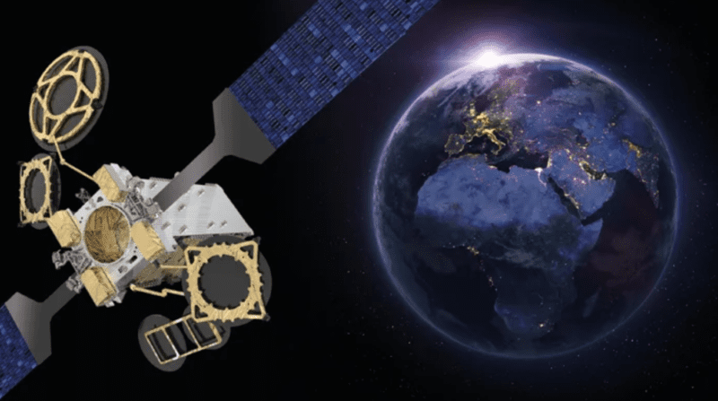
The AIS Platinum solution will provide a fast flow of real-time intelligence to assist organizations that require time-critical intelligence. The solution has been developed with exactEarth’s global, persistent real-time satellite Automatic Identification System (AIS) service, exactView RT, powered by Harris, which will consist of a system of more than 60 maritime satellite payloads.
ExactEarth’s satellite coverage is coupled with more than 2,000 IHS Markit terrestrial AIS stations that will provide further geographical coverage in high-density areas along coastal locations and busy port locations around the world. Additional global trade intelligence from IHS Markit will provide insights on commodity movements, along with ship information, including details on the owner, the operator and technical manager, among other information, that will give customers a clearer picture of the operating and commercial structure of the movement of goods.
The system has been created for uses such as quant analysts, commodity traders, compliance officers, defence intelligence analysts, and customs and border agents.