Radiant Earth Foundation to Release Earth Imagery Platform

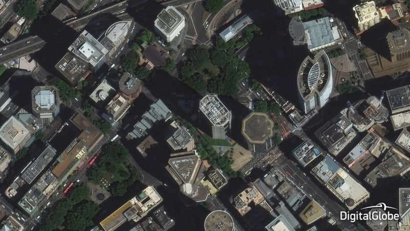
DigitalGlobe’s WorldView 3 satellite captured this image of Sydney, Australia in January 2015. Photo: DigitalGlobe
Radiant Earth Foundation (formerly known as Radiant.Earth) will release a new, open Earth imagery platform, to change the way humanitarian aid workers, policymakers, researchers, journalists, and others use satellite images to understand and serve their communities. The platform is the first of its kind to offer instant, secure, and free access to Earth observation data on the cloud and help the global development community apply the data to real-world problems.
Working with organizations such as NASA, the European Space Agency (ESA), the Group on Earth Observations, the Global Partnership for Sustainable Development Data, and private companies around the world, Radiant Earth Foundation’s platform brings together billions of dollars’ worth of satellite imagery and makes it available to the global development community. Additionally, the platform provides user-friendly analytical tools and support, empowering a range of users to consume and analyze the data in their everyday work.
During its beta phase, Radiant Earth Foundation served more than 100 organizations including the World Bank and Catholic Relief Services and developed use cases that will be available to the public at large. The platform’s open Application Programming Interface (API) also allows users to integrate non-imagery data, including air quality, population, and weather statistics. With funding from Omidyar Network and the Bill and Melinda Gates Foundation, Radiant Earth Foundation serves as a neutral, not-for-profit organization helping the growing satellite imagery industry balance bottom lines and higher purpose, according to the release.