

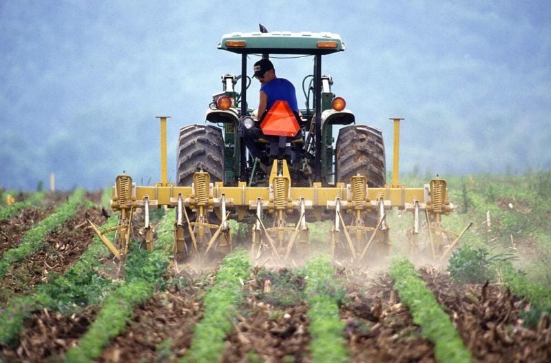
Although both government and private entities have used satellite imagery for agricultural purposes for years, the U.S. Department of Agriculture (USDA) says the technology still hasn’t peaked in maturity. The question now is: How can remote sensing operators further improve their technology to make crop forecasting more accurate and reliable?
Satellites Still Fall Short in Agricultural Tracking


Airbus to Lead German Consortium for Sovereign ISR Capability
Airbus has put together a consortium of German companies to develop a sovereign intelligence, surveillance, and reconnaissance (ISR) solution. The team announced Wednesday during the Berlin Air Show includes Rohde […]


Trending Now
-
 Government/Military
SDA Set to Resume Launches With Second Plane of York Transport Layer Satellites
-
 Government/Military
Slingshot Aerospace Wins Space Force Contract to Expand AI Mission Rehearsal


