Latest News

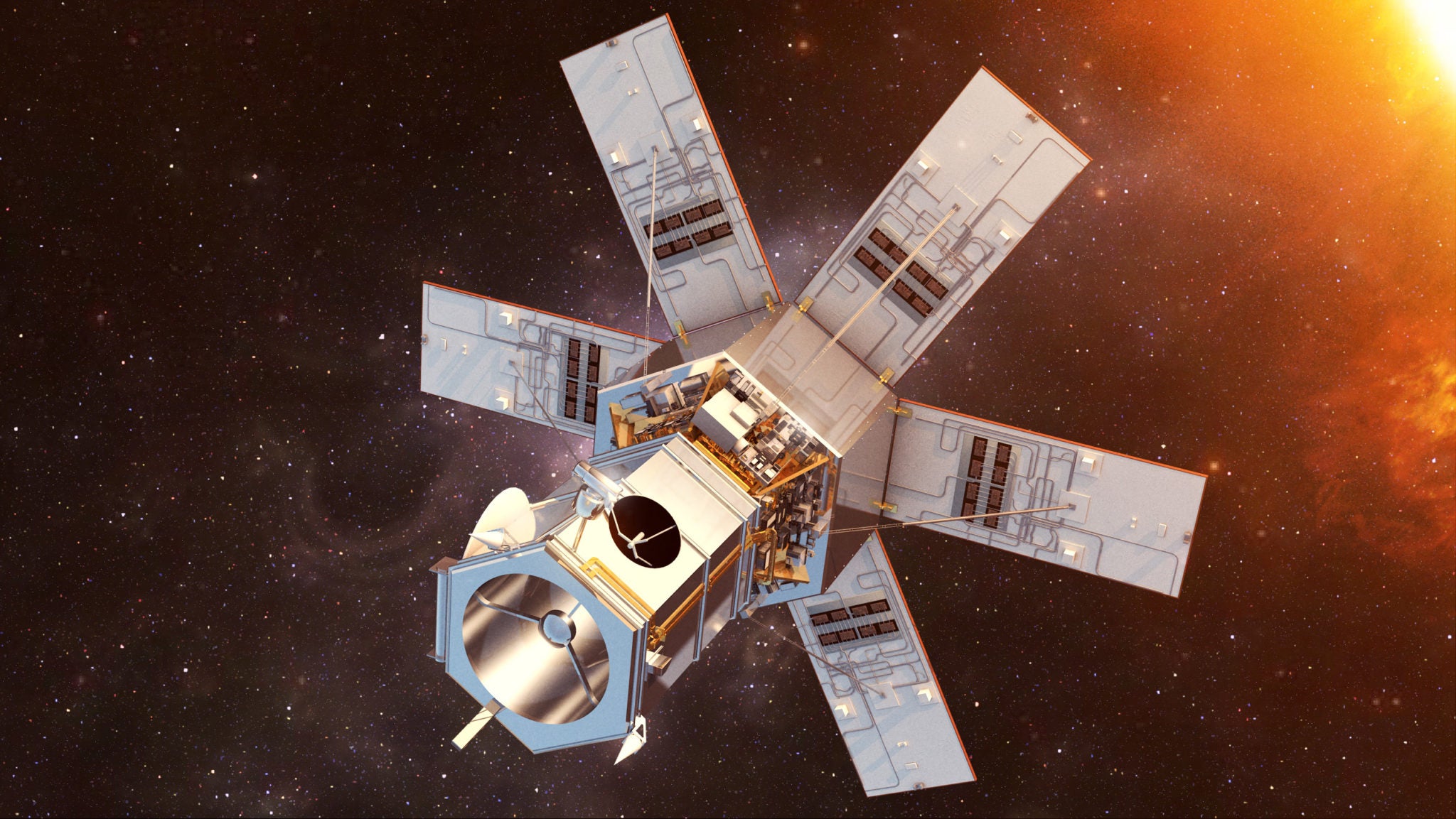
Artist’s rendition of WorldView 4. Photo: Maxar
Maxar Technologies was awarded a sole-source, Indefinite-Delivery/Indefinite-Quantity (IDIQ) contract from the U.S. Army Geospatial Center to deliver multiple portable, direct-downlink tactical ground systems providing geospatial intelligence to users in remote locations. The contract is valued at up to $49 million over eight years, with two initial task orders worth a combined value of $8 million.
The system, called the U.S. Army Remote Ground Terminal (RGT), helps enable troops in remote locations to rapidly downlink, analyze, and disseminate data from commercial Earth Observation (EO) satellites. The RGT system is based on Maxar’s Tactical Architecture for Near-Real-Time Global Operations (TANGOTM) platform. The RGT downlinks data from a variety of commercial sources, including Maxar’s WorldView constellation.
The U.S. Army plans to continue developing the RGT system, ultimately transitioning it to become the commercial imagery receive node for the U.S. Army’s future Tactical Intelligence Targeting Access Node (TITAN).
“As the industry leader in Earth Intelligence, Maxar is dedicated to delivering innovative solutions for our customers’ most complex challenges,” said Maxar Executive Vice President of Global Field Operations Tony Frazier. “The RGT is revolutionizing the way users in remote sites obtain the critical Earth Intelligence their missions demand – when and where they need it most.”
Get the latest Via Satellite news!
Subscribe Now