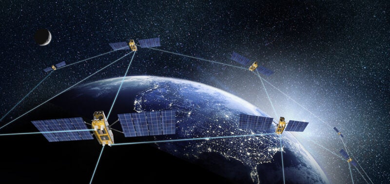
The first satellite in the National Oceanic and Atmospheric Administration’s (NOAA) new Joint Polar Satellite System (JPSS) has passed testing and is now operational. Launched last November as JPSS-1 and renamed NOAA-20 once it reached orbit, the satellite provides the National Weather Service with global data for numerical weather prediction models used to develop timely and accurate U.S. weather forecasts.
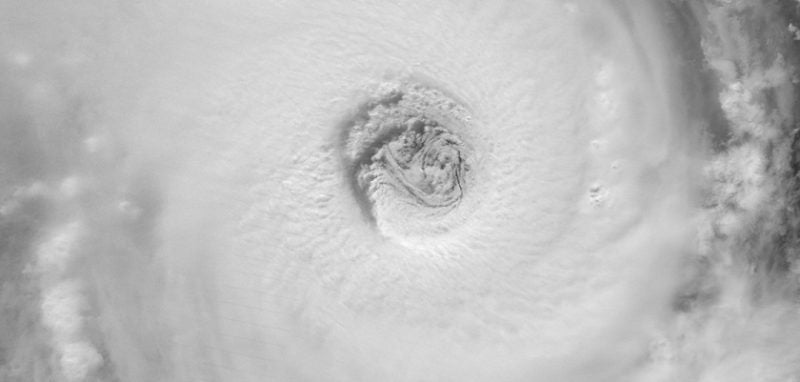
High-resolution imagery from the satellite’s Visible Infrared Imaging Radiometer Suite (VIIRS), will enable the satellite to detect fog, sea-ice formation and breaking in the Arctic, volcanic eruptions and wildfires in their very early stages. This advanced modeling and imagery information, shared with international and governmental partners, will help businesses, the emergency preparedness and response communities and individuals make the best decisions possible in the face of weather-related hazards.
NOAA-20 joins Suomi NPP — the NOAA-NASA demonstration satellite launched in 2011 — giving the United States two sophisticated spacecraft in nearly the same orbit. Each circles the Earth in a polar orbit 14 times a day, collecting global observations that form the basis for U.S. weather prediction.
JPSS-2, the second in the series, is scheduled to be launched in 2021, followed by JPSS-3 in 2026 and JPSS-4 in 2031.