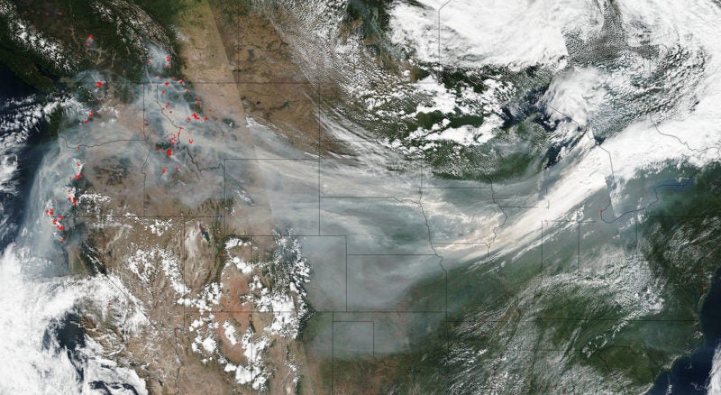
As the southern United States recovers from two monstrous back-to-back hurricanes, states in the Pacific Northwest continue to battle ash and smoke drifting from wildfires raging nearby. Almost 1.5 million acres are currently ablaze in the region — and the U.S. Forest Service, a small, arguably underfunded agency, is seeking more efficient ways to monitor and respond to such large-scale events. Could optical satellites be the solution?
US Forest Service Turns to Satellite to Monitor Wildfires


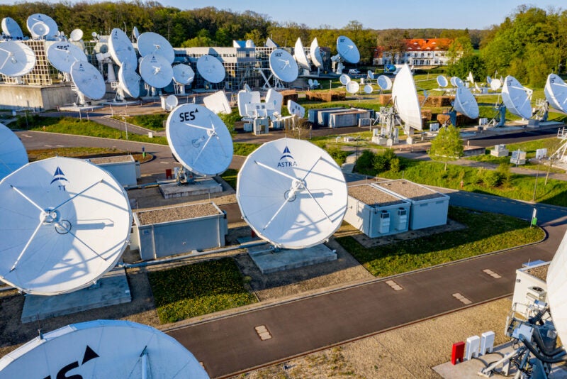
Space Systems Command Awards SES 5-Year Blanket Purchase Agreement
The U.S. Space Force’s Space Systems Command (SSC) has awarded SES Space and Defense a five-year blanket purchase agreement (BPA) for global Ku-band connectivity, including a number of managed connectivity […]


Trending Now
-
 Government/Military
NATO Allies Plan Hybrid HALO Constellation