
The U.S. Geological Survey (USGS) has awarded General Dynamics a contract to manage the current Landsat 8 mission from the existing Landsat mission operations center at the Goddard Space Flight Center (GSFC) in Seabrook, Maryland. Concurrently, the company will design and integrate a new Landsat Multi-satellite Operations Center (LMOC) at GSFC while continuing the flight of the current Landsat 8 satellite. The company expects the LMOC will be ready to provide flight and mission operations following the launch of the new USGS Landsat 9 satellite in 2020. The contract is valued up to $155 million over five years with five additional, one-year options.
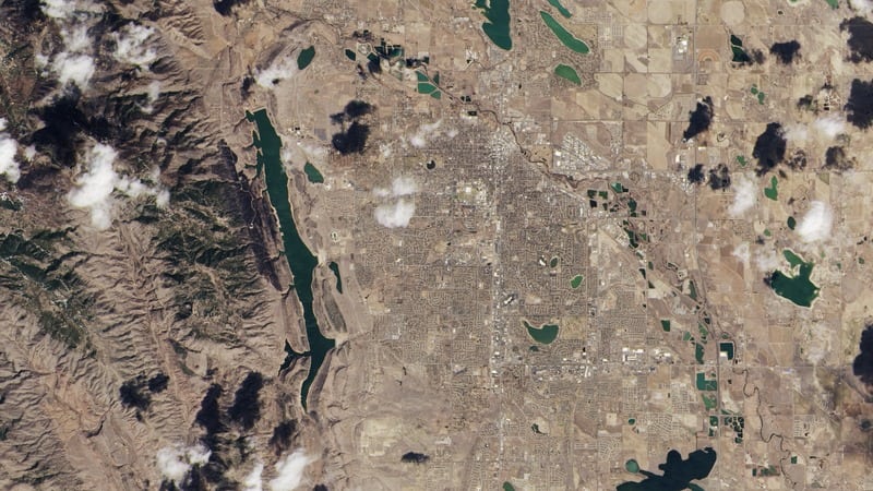
According to USGS, Landsat represents the world’s longest continuously acquired collection of space-based, moderate resolution, land remote sensing data. Initiated in 1966, millions of sensor images provide a free resource of documenting agriculture, geology, forestry, regional planning, education, mapping, and global change research. Landsat images also provide life-saving information for emergency response and disaster relief operations. The Landsat Project is a joint initiative between the USGS and NASA.