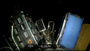
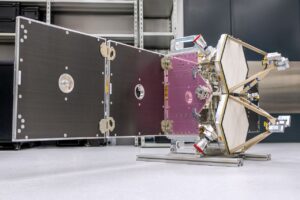
[Satellite Today 07-17-09] RapidEye imagery sensors are compatible with a satellite imagery software update from PCI Geomatics, RapidEye announced July 16.
The update, Geomatica 10.2.1, presents image-centric desktop software, which integrates RapidEye satellite sensor support.
“PCI Geomatics has proven that ground control points are not required to correct RapidEye data and achieve accuracy within 1 pixel using the Geomatica software. This allows the user to generate high accuracy ortho/mosaic images anywhere in the world instantly,” Philip Cheng, senior scientist at PCI Geomatics, said in a statement.
PCI Geomatics Software Now Compatible with RapidEye Sensors




SSC Space and Saab Sign MoU to Enhance Sweden’s Space Capabilities
SSC Space and Saab are teaming up to explore potential areas of cooperation related to space and Multi-Domain Operations (MDO). These will include the use of Esrange Space Center as […]



Trending Now
-
 Government/Military
FCC Continues Deregulation Push with Environmental Regulations and More Spectrum
-
 Imagery and Sensing
BlackSky CEO: Sovereign is the No. 1 Market Opportunity Right Now
-
 Government/Military
NSSLGlobal Acquires MetOcean Telematics