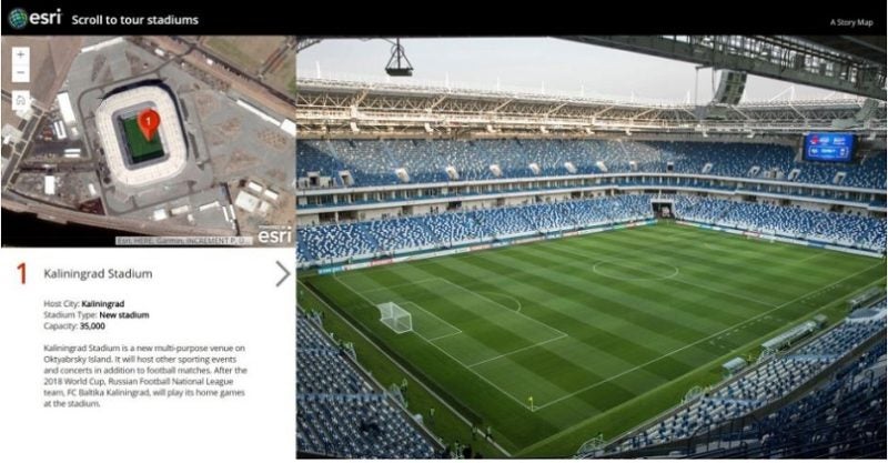
Spatial analytics provider Esri and DigitalGlobe have created a story map of high-resolution imagery that visualizes the 12 venues being used for the 2018 FIFA World Cup in Russia, exclusive to The Associated Press. This will be the first time these images have ever been seen.
DigitalGlobe imagery is available through ArcGIS Living Atlas of the World, a collection of geographic information from around the globe, which is included with all ArcGIS subscriptions. It is comprised of maps, apps, and data layers that support the work of thousands of Esri users around the world.
Esri Story Maps apps help tell stories by combining authoritative maps like those from Living Atlas, images such as the DigitalGlobe imagery, narrative text and other content including videos, and more. Story maps can help viewers discover information through a guided experience that is more informative than simply providing pictures.