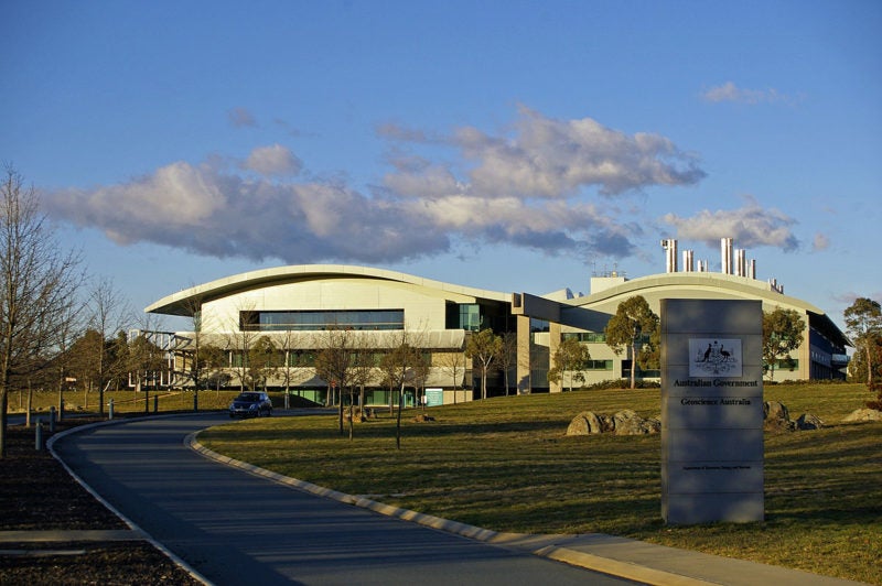
Geoscience Australia, Australia’s public sector geoscience organization, has renewed its contract with Speedcast for life-saving connectivity applications. Speedcast provides Very Small Aperture Terminal (VSAT) connectivity for Geoscience Australia’s seismic reading and GPS land movement applications.
Australia has a substantial number of sites around the country that use the seismic reading application, which is part of the regional Asia-Pacific tsunami warning program. Geoscience Australia also has an embedded kit that goes down to the rock layer of the Earth’s surface to track land movements around the country. With superior connectivity, teams are able to read exact GPS information every two seconds to see how far the land has moved, according to Speedcst. The application is also used for smart-farming systems and has the potential to be used for future applications such as driverless vehicles.
Speedcast uses two satellites and two landing stations to ensure availability for data transmission to Geoscience Australia’s head office. The bandwidth for all sites is distributed via the iDirect platform.