Latest News
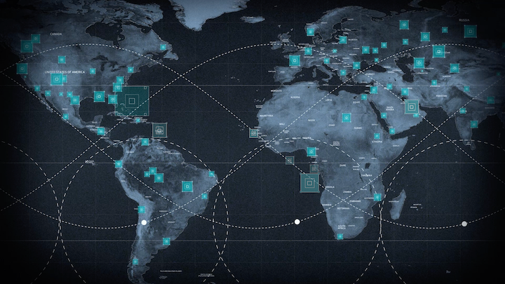
Photo: Maxar
Maxar Intelligence on Wednesday announced a new solution suite that applies artificial intelligence-enabled analytics to geospatial imagery for persistent global monitoring of fixed sites and vessels on the open sea to provide customers with predictive intelligence and improve the efficiency of, and outcomes for, analysts.
The company is already bringing its Sentry solution to bear for the National Geospatial-Intelligence Agency (NGA) under the Luno program that purchases commercial data analytics to improve monitoring of global economic, environmental, and military activity. Maxar’s initial task order covers facility monitoring.
The software suite applies AI and machine learning for “building out patterns of behavior and understanding anomalies from those patterns, and how those anomalies correlate in a causal way to activity that you understand based on that doctrine,” Peter Wilczynski, Maxar Intelligence’s chief product officer, told Defense Daily in an interview.
For example, the use of satellite imagery to observe the build-up of Russian tanks ahead of the invasion of Ukraine provided strategic intelligence and early warning to “see the change, characterize the change, and then understand the implications from a doctrine perspective of that change,” Wilczynski said.
The software suite can be used for economic indicator analysis and enable predictions based on ongoing activity at site, he said.
Sentry includes two products, Site Sentry for monitoring fixed sites such as airports, ports, shipyards, and urban centers, and Maritime Sentry to track vessels at sea over thousands of square kilometers.
Maxar’s solution takes advantage of computer vision technology the company has developed by training its models against a massive database of high resolution satellite imagery collected over more than 20 years. In addition to tasking its high resolution satellites for rapid data collection and analysis, Sentry can be leveraged against imagery collected by other vendors’ constellations.
Sentry also uses different AI algorithms for capabilities such as object detection and identification, and change detection, that work with different satellite systems.
Stay connected and get ahead with the leading source of industry intel!
Subscribe Now