

Intermap Technologies received a task order for $3.2 million to provide high-resolution terrain elevation models, related imagery, multi-sensor/multi-frequency source data, and feature layer extraction for a government customer. In addition, the company will deploy supervisors who will train, assist, and monitor local personnel and operations. This is a continuation of Intermap’s strategy of localizing its foreign operations to facilitate development and partnerships.
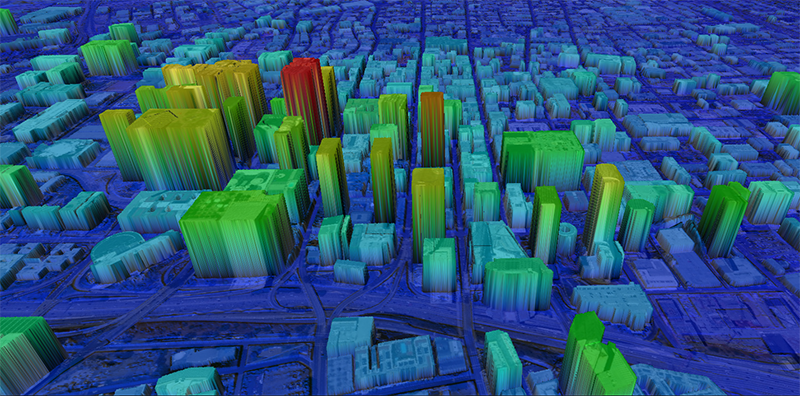
The company will use its proprietary sensor platform to collect and combine high and low frequency radar, satellite and airborne-derived multi-spectral optical imagery and airborne LiDAR into an improved Digital Elevation Model (DEM) for an area located under dense canopy in a cloud-covered region.
“Intermap’s advanced platform allows reliable remote sensing for a wide range of geospatial applications, such as surveys for infrastructure, powerlines, transportation, communications, risk management, security and environmental damage assessment,” commented Patrick A. Blott, Chairman and CEO of Intermap. “This continuing program for a sovereign client demonstrates our unique ability to fill gaps where single source data solutions, or satellite optical imagery alone, is often inadequate.”


