

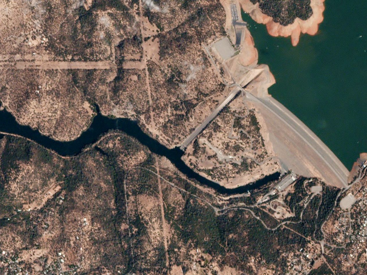
A unit in the Pentagon has put out a call for algorithms that can be used to analyze high-resolution satellite imagery. The contest, called the xView Detection Challenge, will award $100,000 to entrants who can develop more efficient ways to interpret geospatial data.
The Pentagon Is Asking for Satellite Imagery Algorithms


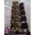
SDA Set to Resume Launches With Second Plane of York Transport Layer Satellites
Update: SpaceX launched the SDA mission on Thursday afternoon from Vandenberg at 4:33 p.m. ET. After a nine month pause in launches, the Space Development Agency (SDA) on Thursday plans […]


Trending Now
-
 Government/Military
Poland Commits Nearly $750M to Europe’s IRIS² Constellation
-
 Government/Military
SDA Set to Resume Launches With Second Plane of York Transport Layer Satellites


