Spire Data Now Accessible on Esri ArcGIS platform

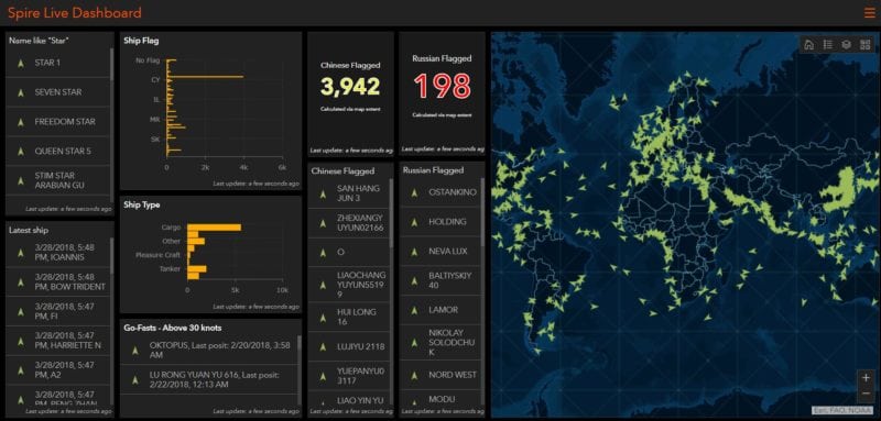
Live feed from Spire API using Esri’s GeoEvent Server and Operations Dashboard. Photo: Spire
Spire Global, a space to cloud analytics company that uses proprietary satellite data and algorithms to provide advanced maritime, aviation, and weather tracking, has announced its participation in the Esri Partner Network. Spire’s datasets collected from its Low Earth Orbit (LEO) satellite constellation can now be integrated into the ArcGIS platform.
Esri Silver Partners are a select group and must demonstrate a commitment to help further develop and support the ArcGIS platform and the Esri user community at large, according to the company.
“With Spire’s agile nanosatellite technology and infrastructure gathering data and the ArcGIS platform analyzing it, we are making a powerful team for the benefit of the maritime industry and beyond.” says Rafael Ponce, Maritime Consultant at Esri.