Raytheon Updates Forecasting System for Atlantic Hurricane Season
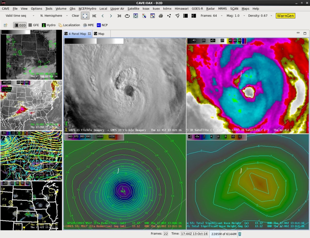
AWIPS, a network of systems that ingests and integrates meteorological, hydrological, satellite and radar data allowing forecasters to make weather predictions. Photo: Raytheon.
Raytheon delivered updates to its Advanced Weather Interactive Processing System (AWIPS) for the current 2017 Atlantic hurricane season, providing meteorologists faster, more accurate forecasting of tropical storms and hurricanes. The improvements include graphical inundation maps that show growing storm surge heights, and improved collaboration capabilities between forecasters and emergency responders in coastal areas.
According to Raytheon, meteorologists use AWIPS at more than 140 of NOAA‘s National Weather Service field offices across the United States to ingest and analyze weather data, and create useful visualizations to predict weather patterns and disseminate information.