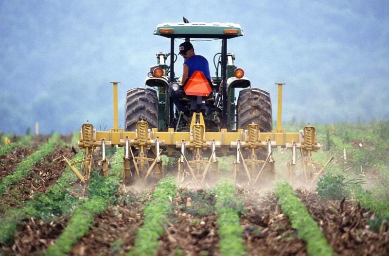
Although both government and private entities have used satellite imagery for agricultural purposes for years, the U.S. Department of Agriculture (USDA) says the technology still hasn’t peaked in maturity. The question now is: How can remote sensing operators further improve their technology to make crop forecasting more accurate and reliable?
Satellites Still Fall Short in Agricultural Tracking


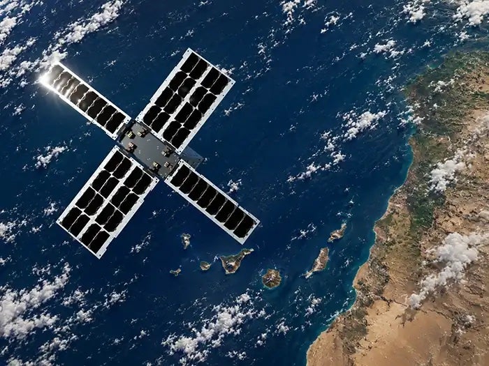

Commercial Markets Are Ready for EO — But the Understanding Gap Persists
At the recent EO Summit in London, Earth Observation (EO) experts explained the industry must face the challenge of how to explain its solutions to customers in terms of the […]
Trending Now
-
 Connectivity
ViaSat-3 F3 Satellite Enters Service
-
 Government/Military
Space Defense in 2040: A Networked, Weaponized, and Contested Frontier
-
 Manufacturing
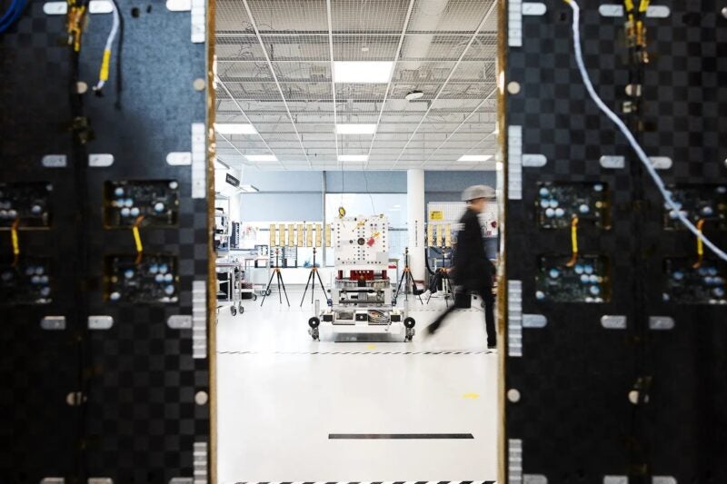
Boeing Delivers O3b mPOWER Satellites to SES