
Archive
Imagery and Sensing
-
 Connectivity
SpaceX Launches Planet SkySats 16-18, Starts Taking Applications for Starlink Beta Tests
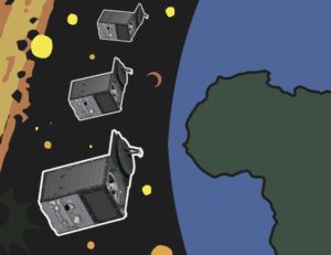
SpaceX successfully lofted three high-resolution imaging SkySats from Planet and a batch of its own Starlink communications satellites on a Falcon 9 rocket this past weekend on June 13. The […]