HawkEye360 Debuts Partner Program, Includes Eagle Technology
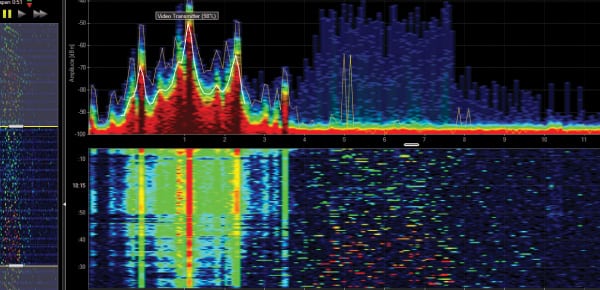
Hawkeye 360 spectrum mapping. Photo: Hawkeye 360.
HawkEye 360 broadens access to its products with the introduction of a strategic partner program, including Eagle Technology as the strategic partner for New Zealand. HawkEye 360 is first commercial company to use formation flying small satellites to create a new class of Radio Frequency (RF) geoanalytics, according to the release.
Eagle Technology will distribute and build upon HawkEye 360 analytics for a variety of applications, such as Maritime Domain Awareness (MDA) and spectral mapping. HawkEye 360 can identify and track ships based on radio signals, which will enable Eagle Technology to monitor the oceans around New Zealand and near Antarctica for environmental, economic, and security concerns. HawkEye 360 can also precisely map active radio emissions — equipping Eagle Technology to locate interfering signals as well as advise on how to efficiently deploy spectrum.
Eagle Technology is a provider of Geographic Information Systems (GIS) and geospatial services for New Zealand and the South Pacific Islands, supporting a variety of commercial and government clients. The company has helped solve a range of challenges, from search and rescue and emergency management to making smarter decisions about utilities and infrastructure.