Rezatec is working with the UK Department for Environment, Food & Rural Affairs (DEFRA) and UK Space Agency to establish how common threats to forests can be detected and addressed to mitigate risk to valuable tree stock.
Through the Space Applications for Precision Plant Health Information, Response & Evaluation project, funded by the UK Space Agency’s Space for Smarter Government Program (SSGP), DEFRA’s Plant Health team used Rezatec’s geospatial forestry intelligence products to generate an understanding of how Earth Observation (EO) technology can be used to address the challenges posed by tree pests and diseases.
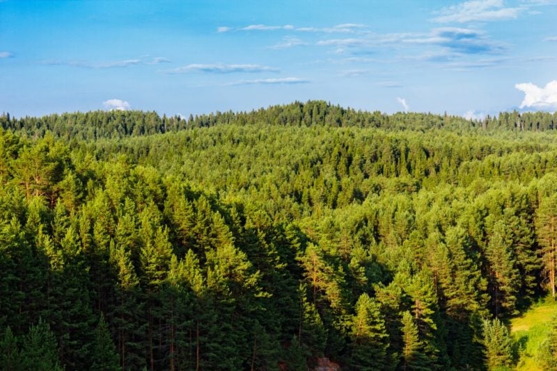
Rezatec is also working closely with Forestry Corporation New South Wales (FCNSW) in Australia to enrich its existing forestry datasets with derived tree type mapping to help the organization understand its forested land assets and support strategic decision making.
“Forestry Corporation NSW manages 2.2 million hectares of state forest across New South Wales. Remotely sensed data is an important forest management tool and combining this with accurately located plot information provides an opportunity to add value to this data. Given the complexity of eucalypt forests this is a difficult task. But FCNSW is watching, with interest, the modeling approach being trialed by Rezatec, and has provided plot data to assist with the model development phase, which is an important first step in getting cost effective, current and consistent information about the forest estate,” stated Mike Sutton, manager of forest information and planning at FCNSW.